
Samana Cay
island in The Bahamas
Press Enter · cited answer in seconds
0 sources
Samana Cay is a landform with a population of 0 . It has an area of 45 and an elevation of 3 [1].
Key Facts
- Samana Cay is in the country of The Bahamas[3].
- Samana Cay is on the body of water Atlantic Ocean[4].
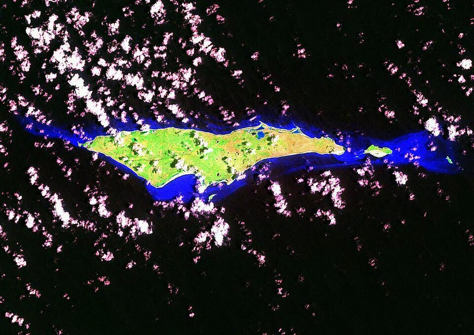
- Samana Cay's image is recorded as Samana Cay-Landsat-Flickr-6554929285 4697d81655 b.jpg[5].
- Samana Cay's instance of is recorded as island[6].
- Samana Cay's part of is recorded as The Bahamas[7].
- Samana Cay's coordinate location is recorded as {'lat': 23.083333333333, 'lon': -73.75}[8].
- Samana Cay's Freebase ID is recorded as /m/069ycc[9].
- Samana Cay's population is recorded as {'amount': '+0'}[10].
- Samana Cay's Encyclopædia Britannica Online ID is recorded as place/Samana-Cay[11].
- Samana Cay's GeoNames ID is recorded as 3571529[12].
- Samana Cay's Getty Thesaurus of Geographic Names ID is recorded as 1008939[13].
- Samana Cay's length is recorded as {'unit': 'kilometre', 'amount': '+16.2'}[14].
- Samana Cay's elevation above sea level is recorded as {'unit': 'metre', 'amount': '+3'}[15].
- Samana Cay's area is recorded as {'unit': 'square kilometre', 'amount': '+45.0'}[16].
- Samana Cay's width is recorded as {'unit': 'kilometre', 'amount': '+3.5'}[17].
- Samana Cay's GNS Unique Feature ID is recorded as -1544128[18].
Why It Matters
Samana Cay ranks in the top 6% of island entities by monthly Wikipedia readership (28 views/month).[2] It has Wikipedia articles in 10 language editions, a strong signal of global cultural recognition.[19]