San Salvador Island
0 sources
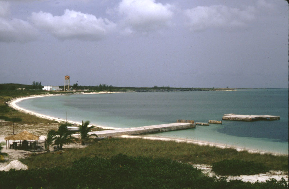
San Salvador Island
Summary
San Salvador Island is an island[1]. It ranks in the top 3% of island entities by monthly Wikipedia readership (1,169 views/month).[2]
Key Facts
- San Salvador Island is credited with the discovery of Christopher Columbus[3].
- San Salvador Island is located in The Bahamas[4].
- San Salvador Island is in the country of The Bahamas[5].
- San Salvador Island is on the body of water Caribbean Sea[6].
- San Salvador Island's instance of is recorded as island[7].
- San Salvador Island's instance of is recorded as district of The Bahamas[8].
- San Salvador Island's capital is recorded as Cockburn Town[9].
- San Salvador Island is named after San Salvador Island[10].
- San Salvador Island is part of The Bahamas[11].
- San Salvador Island's Commons category is recorded as San Salvador Island[12].
- San Salvador Island's located in time zone is recorded as UTC−05:00[13].
- San Salvador Island's said to be the same as is recorded as Guanahani[14].
- San Salvador Island's coordinate location is recorded as {'lat': 24.03667, 'lon': -74.49306}[15].
- San Salvador Island's located in/on physical feature is recorded as Lucayan Archipelago[16].
- San Salvador Island has a population of {'amount': '+930'}[17].
- San Salvador Island's described by source is recorded as Otto's encyclopedia[18].
- San Salvador Island's described by source is recorded as Meyers Konversations-Lexikon, 4th edition (1885–1890)[19].
- San Salvador Island's length is recorded as {'unit': 'Q828224', 'amount': '+19.25'}[20].
- San Salvador Island sits at an elevation of {'unit': 'Q11573', 'amount': '+12'}[21].
- San Salvador Island covers an area of {'unit': 'Q712226', 'amount': '+163.0'}[22].
- San Salvador Island's width is recorded as {'unit': 'Q828224', 'amount': '+8'}[23].
Body
Geography
San Salvador Island is in the country of The Bahamas[5]. It is located in The Bahamas[4]. It is on the body of water Caribbean Sea[6]. It is part of The Bahamas[11].
Physical Characteristics
San Salvador Island covers an area of {'unit': 'Q712226', 'amount': '+163.0'}[22]. It sits at an elevation of {'unit': 'Q11573', 'amount': '+12'}[21]. Its length is recorded as {'unit': 'Q828224', 'amount': '+19.25'}[20]. It has a population of {'amount': '+930'}[17].
Designation and Status
Recorded instance of include island[7] and district of The Bahamas[8].
History and Context
San Salvador Island is named after it[10].
Why It Matters
San Salvador Island ranks in the top 3% of island entities by monthly Wikipedia readership (1,169 views/month).[2] It has Wikipedia articles in 22 language editions, a strong signal of global cultural recognition.[24] It is known by 18 alternative names across languages and contexts.[25]