
Mehrgarh
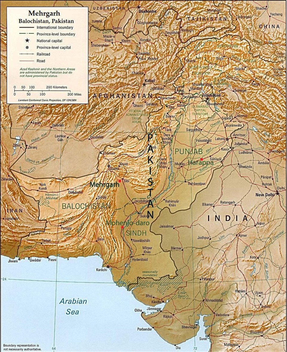
Facts
14 propertiesDesignation
- Instance of
- archaeological site
- Heritage designation
- Tentative World Heritage Site (2004–present)[6]
Location
- Coordinate location
- 🗺️ 29.212°, 67.671°
Period and style
- Inception
- 7000 BC[4]
More facts +8
- Located in
- Dhadar
- Coordinates
- 🗺️ 29.212°, 67.671°
- Director of archaeological fieldwork
- Jean-François Jarrige[12]
- Dissolved
- 2600 BC
- Dissolved, abolished or demolished date
- 2600 BC[5]
- Time period
- Neolithic, Bronze Age[7][8]
- VIAF cluster ID
- 239193213
- Encyclopædia Britannica Online ID
- place/Mehrgarh
- Freebase ID
- /m/0566b
- Getty Thesaurus of Geographic Names ID
- 7032441
- Great Russian Encyclopedia portal ID
- mekhrgarkh-821a09
- OpenStreetMap node ID
- 4403772963
- Pleiades ID
- 304475334
- Quora topic ID
- Mehrgarh
- World Heritage Tentative List ID
- 1876
Time period 2
Country 1
Culture 1
Director of archaeological fieldwork 1
Heritage designation 1
Instance of 1
Located in the administrative territorial entity 1
← FactGrid item ID 1
0 sources
Summary
Mehrgarh is an archaeological site[1].
high ≥ 0.90 · emerging ≥ 0.65 · low below — calibrated against hand-rated truth (single-source .44 · two-source .62 · production-typical .70), so a band is a measurement, not a promise. High is rare by design: it needs both a supported assertion and an evidence sentence. A confirmed or contradicted chip is a Wikidata cross-check; no chip means Wikidata has no value for that property — the ordinary case here, and it says nothing either way. A confirm-only note marks a property whose check can never disagree (Wikidata's border and capital data is not exhaustive), so silence there is a limit of the check, not of the claim.
served-tier precision 80.7% [76.2, 84.5] · rated rows currently served n=342 · entailment-gated at 0.85 · measured 2026-09-29 · re-scored every 10 min, demoted at the half-hourly fold
evidence “Earliest Known Dentistry From Mehrgarh, Pakistan, 7000-9000 Years Ago” boredpanda.com · read source