
La Sentiu de Sió
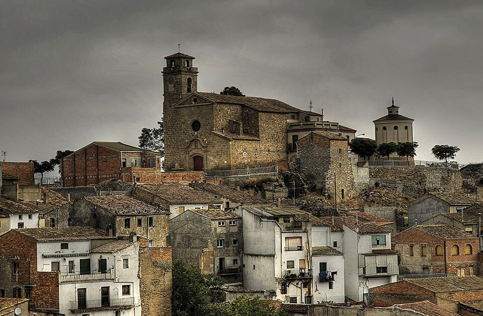
Facts
26 properties- Instance of
- municipality of Catalonia
- Official website
- www.sentiu.cat
- Website
- www.sentiu.cat
- Located in
- Noguera
- Coordinate location
- 🗺️ 41.805°, 0.879°[17]
- Area
- 29.6
- Capital
- Sentiu de Sió, la[7]
- Coat of arms
- Escut de la Sentiu de Sió[14]
- Contains the statistical territorial entity
- Sentiu de Sió, la, Sant Miquel, el Tossal de les Forques, Sant Jordi de Muller
- Coordinates
- 🗺️ 41.805°, 0.879°
- Elevation above sea level
- 281.0
- Female population
- 190.0
- Head of government
- Mario Gené Amorós (?–2023), Josep Torres Flores (2023–present)[6]
- Licence plate code
- L[16]
- Male population
- 216.0
- Number of households
- 15 (6–15, n=3)
- Office held by head of government
- mayor of La Sentiu de Sió
- Official name
- Sentiu de Sió, La
- Population
- 448 (50–910, n=39)
Show all 26 facts +2
- Postal code
- 25617[15]
- Shares border with
- Balaguer, Camarasa, Bellcaire d'Urgell, Vallfogona de Balaguer[9][10][11][12]
- VIAF cluster ID
- 316735616
- Catalunya Romànica ID
- la-sentiu-de-sio
- FactGrid item ID
- Wikidata item
- Freebase ID
- /m/0fpgf70
- GeoNames ID
- 6358792
- Gran Enciclopèdia Catalana ID
- la-sentiu-de-sio
- Gran Enciclopèdia Catalana ID (former scheme)
- 0061851
- IDESCAT territorial code in Catalonia
- 250352
- INE code
- 25035
- INSPIRE ID
- ES.IGN.BDDAE.34092525035
- OpenStreetMap relation ID
- 343317
- Topic's main category
- Category:La Sentiu de Sió
Show all 13 identifiers +1
- Who's on First ID
- 101910745
From open datasets, joined by identifier and shown only for properties Wikidata does not state on this entity — except where the dataset is the registry authority for the fact (ClinicalTrials.gov on trial registration data): there its value is shown instead, with Wikidata's noted beside it. Every row carries its dataset edition and licence.
where from?
- Source
- GeoNames
- Edition
- 20260926 · as of 2026-09-26
- Licence
- CC BY 4.0
- Credit
- CC BY 4.0 — attribution: GeoNames (www.geonames.org), licensed under CC BY 4.0 (https://creativecommons.org/licenses/by/4.0/). Values as shipped.
- Bronze
1da92a6323a5fec3…admin1CodesASCII.txt +9 files- Transform
- 4ort-mint · lake · version not recorded
Shares border with 4
← Shares border with 4
Country 1
Located in or next to body of water 1
Located in the administrative territorial entity 1
Official language 1
← Contains the administrative territorial entity 1
0 sources
Summary
La Sentiu de Sió is a municipality of Catalonia[1].
Body
Geography
Adjacent water bodies include Sió river[4], a watercourse[18], in Spain[19] and canal auxiliar d'Urgell[5].
Physical Characteristics
La Sentiu de Sió's area is recorded as 29.60 km²[20]. Its elevation above sea level is recorded as 281 m[21]. Population counts include {'amount': '+475'}[22], {'amount': '+471'}[23], {'amount': '+488'}[24], {'amount': '+502'}[25], {'amount': '+496'}[26], and {'amount': '+512'}[27].