Anor
commune in Nord, France
Press Enter · cited answer in seconds
0 sources
Anor
Summary
Anor is a commune of France[1]. Anor ranks in the top 0.95% of commune_of_france entities by monthly Wikipedia readership (10 views/month, #296 of 31,031).[2]
Key Facts
- Anor is located in canton of Trélon[3].
- Anor is located in Nord[4].
- Anor is located in arrondissement of Avesnes-sur-Helpe[5].
- Anor is in the country of France[6].
- Anor is on the body of water Oise[7].
- Anor's head of government is recorded as Jean-Luc Pérat[8].
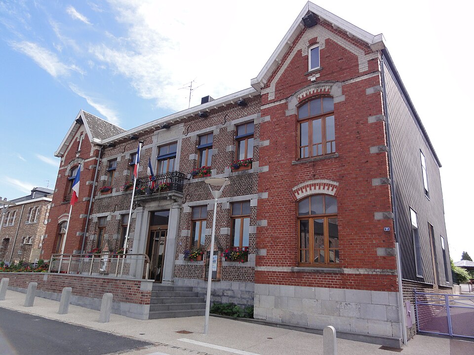
- Anor's image is recorded as Anor (Nord, Fr) mairie.jpg[9].
- Anor's instance of is recorded as commune of France[10].
- Anor's instance of is recorded as border city[11].
- Anor's shares border with is recorded as Hirson[12].
- Anor's shares border with is recorded as Mondrepuis[13].
- Anor's shares border with is recorded as Trélon[14].
- Anor's shares border with is recorded as Fourmies[15].
- Anor's shares border with is recorded as Ohain[16].
- Anor's shares border with is recorded as Momignies[17].
- Anor's coat of arms image is recorded as Blason ville fr Anor (Nord).svg[18].
- Anor's twinned administrative body is recorded as Aken (Elbe)[19].
- Anor's VIAF cluster ID is recorded as 233831770[20].
- Anor's locator map image is recorded as Map commune FR insee code 59012.png[21].
- Anor's Bibliothèque nationale de France ID is recorded as 152665902[22].
- Anor's postal code is recorded as 59186[23].
- Anor's Commons category is recorded as Anor[24].
- Anor's Insee municipality code is recorded as 59012[25].
- Anor's OpenStreetMap relation ID is recorded as 55434[26].
- Anor's coordinate location is recorded as {'lat': 49.989444444444, 'lon': 4.0986111111111}[27].
Body
Identity
Anor's official name is recorded as {'lang': 'fr', 'text': 'Anor'}[28].
Why It Matters
Anor ranks in the top 0.95% of commune_of_france entities by monthly Wikipedia readership (10 views/month, #296 of 31,031).[2] Anor has Wikipedia articles in 22 language editions, a strong signal of global cultural recognition.[29]