Vaida
village in Bihor County, Romania
Press Enter · cited answer in seconds
0 sources
Vaida
Summary
Vaida is a village[1]. Vaida is known by 9 alternative names across languages and contexts.[2]
Key Facts
- Vaida is located in Roșiori[3].
- Vaida is in the country of Romania[4].
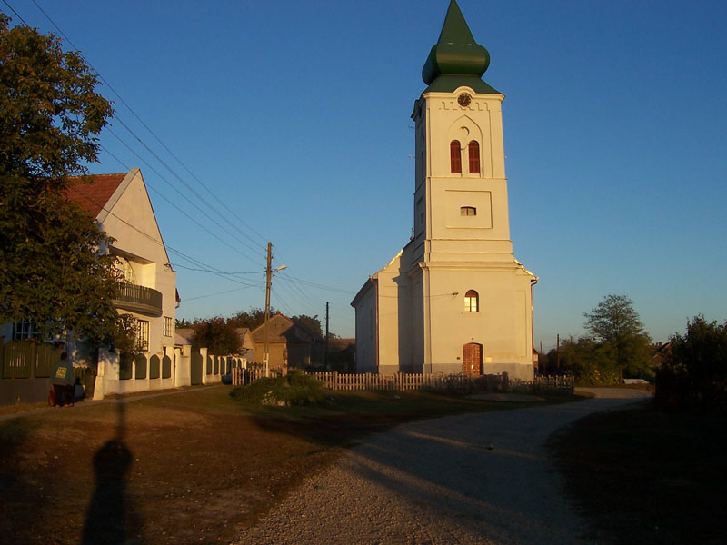
- Vaida's image is recorded as Biharvajdai templom.jpg[5].
- Vaida's instance of is recorded as village[6].
- Vaida's postal code is recorded as 417239[7].
- Vaida's Commons category is recorded as Vaida, Bihor[8].
- Vaida's located in time zone is recorded as UTC+02:00[9].
- Vaida's located in time zone is recorded as UTC+03:00[10].
- +1285-00-00T00:00:00Z marks the founding of Vaida[11].
- Vaida's coordinate location is recorded as {'lat': 47.252795, 'lon': 21.99477}[12].
- Vaida's SIRUTA code is recorded as 29145[13].
- Vaida's population is recorded as {'amount': '+485'}[14].
- Vaida's population is recorded as {'amount': '+404'}[15].
- Vaida's GeoNames ID is recorded as 663973[16].
- Vaida's native label is recorded as {'lang': 'ro', 'text': 'Vaida'}[17].
- Vaida's native label is recorded as {'lang': 'hu', 'text': 'Biharvajda'}[18].
- Vaida's elevation above sea level is recorded as {'unit': 'Q11573', 'amount': '+130.000000'}[19].
- Vaida's GNS Unique Feature ID is recorded as -1173530[20].
- Vaida's Google Knowledge Graph ID is recorded as /g/121ynbv6[21].
- Vaida's Who's on First ID is recorded as 1310410541[22].
- Vaida's historical region is recorded as Crișana[23].
Body
Geography
Vaida is in the country of Romania[4]. Vaida is located in Roșiori[3].
Physical Characteristics
Vaida's elevation above sea level is recorded as {'unit': 'Q11573', 'amount': '+130.000000'}[19]. Population counts include {'amount': '+485'}[14] and {'amount': '+404'}[15].
Designation and Status
Vaida's instance of is recorded as village[6].
History and Context
+1285-00-00T00:00:00Z marks the founding of Vaida[11].
Why It Matters
Vaida is known by 9 alternative names across languages and contexts.[2]