
Toyama Prefecture
prefecture of Japan
Press Enter · cited answer in seconds
0 sources
Summary
Toyama Prefecture is a prefecture of Japan[1]. It draws 5,549 Wikipedia views per month (prefecture of japan category, ranking #11 of 49).[2]
Key Facts
- Located in the administrative territorial entity: Japan[3]
- Country: Japan[4]
- Located in or next to body of water: Toyama Bay[5]
- Head of government: Hachirō Nitta[6]
- Capital: Toyama[7]
- Shares border with: Ishikawa Prefecture[8], Niigata Prefecture[9], Nagano Prefecture[10], Gifu Prefecture[11]
- Anthem: Toyama Kenmin no Uta[12]
- Named after: Toyama Domain[13]
- Contains the administrative territorial entity: Toyama[14], Takaoka[15], Uozu[16], Himi[17], Namerikawa[18], Kurobe[19], Tonami[20], Oyabe[21], Nanto[22], Imizu[23], Nakaniikawa district[24], Shimoniikawa district[25]
- Flag: flag of Toyama prefecture[26]
- Twinned administrative body: Liaoning[27], São Paulo[28], Oregon[29], Primorsky Krai[30], Kanagawa Prefecture[31]
- Legislative body: Toyama Prefectural Assembly[32]
- Executive body: Toyama prefectural government[33]
- Commons category: Toyama prefecture[34]
- Located in time zone: UTC+09:00[35], Japan Standard Time[36]
- Archives at: Toyama Prefectural Archives[37]
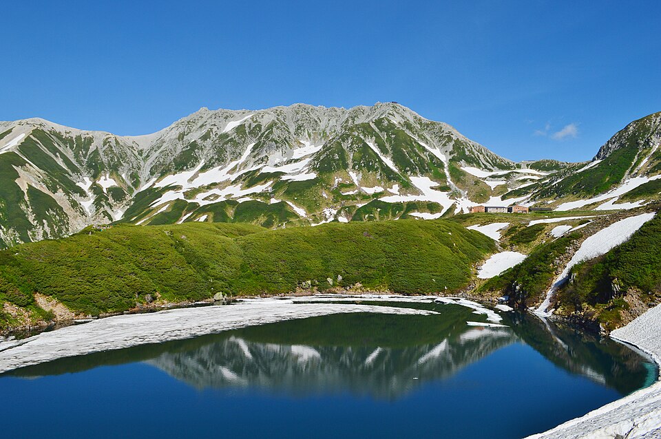
- Highest point: Mount Tate[38]
- Coordinate location: 36.69530555555556, 137.21130555555555[39]
- Separated from: Ishikawa Prefecture[40]
- Mascot: Kitokito-kun[41]
- Official website: https://www.pref.toyama.jp/[42]
- Foods traditionally associated: masuzushi[43]
- Topic's main category: Category:Toyama Prefecture[44]
- Commons gallery: Toyama prefecture[45]
- Population: 1,031,262[46], 1,112,000[47], 1,030,000[48]
Why It Matters
Toyama Prefecture has Wikipedia articles in 29 language editions, a strong signal of global cultural recognition.[49] It is known by 40 alternative names across languages and contexts.[50]