
Southlake
city in Texas, United States
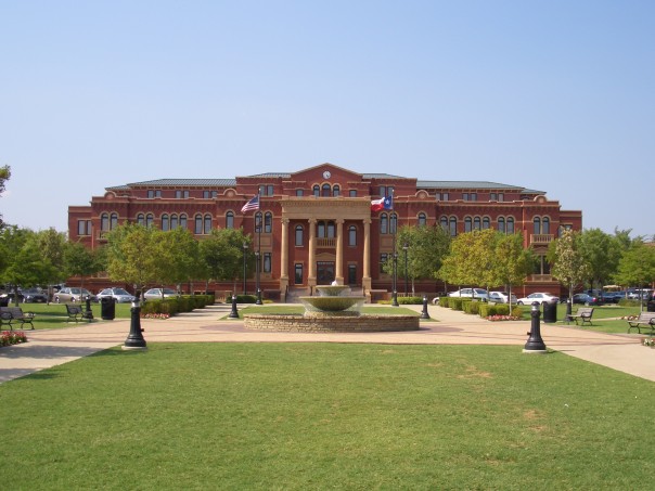
Facts
19 propertiesIdentity
- Instance of
- city in the United States
- Inception
- 1956[10]
- Official website
- www.cityofsouthlake.com[12]
- Official name
- Southlake
Location
- Country
- United States[4]
- Coordinate location
- 🗺️ 32.947°, -97.145°[11]
- Located in the administrative territorial entity
- Tarrant County, Denton County[2][3]
- Shares border with
- Trophy Club[6]
Population and size
- Area
- 58.085559 km², 58.280985 km² (2010)
- Elevation above sea level
- 194 m
🏷️ Also known as
en Southlake
en Southlake, Texas
en Southlake, TX
ar ساوثلايك
es Southlake (Texas)
fa ساوتلیک
ja サウスレーク
ja サウスレーク(テキサス州)
ja サウスレイク
uk Саутлейк
zh 南湖
zh 紹斯萊克
🔖 Identifiers · 17
- VIAF cluster ID
- 132574052
- Library of Congress Authorities ID
- n84112094
- ArchINFORM location ID
- 42554
- FIPS 55-3 (locations in the US)
- 48-69032
- FactGrid item ID
- Jacob
- Freebase ID
- /m/013mh8
- GeoNames ID
- 4733313
- Handbook of Texas ID
- hgs12
- J9U entity ID
- 987007564646405171
- MusicBrainz area ID
- b82df9b9-a067-4f1f-8f71-dfdee9cb462c
Show all 17 identifiers +5
- OpenStreetMap relation ID
- 114885
- Quora topic ID
- Southlake-TX
- UN/LOCODE
- USZLE
- Who's on First ID
- 101724501
- WorldCat Entities ID
- E39PBJvxyrRYcghjpxVJr4kv73
📚 Sources · 1
- GeoNames CC BY 4.0 — attribution: GeoNames (www.geonames.org), licensed under CC BY 4.0 (https://creativecommons.org/licenses/by/4.0/). Values as shipped.
⛏️ Lake Facts
· open-dataset statements via 4ort-mint
From open datasets, joined by identifier and shown only for properties Wikidata does not state on this entity — except where the dataset is the registry authority for the fact (ClinicalTrials.gov on trial registration data): there its value is shown instead, with Wikidata's noted beside it. Every row carries its dataset edition and licence.
Located in time zoneP421
America/Chicago
2026-09-26
P/PPL · US
GeoNames (CC BY 4.0)
as of 2026-09-26
where from?
- Source
- GeoNames
- Edition
- 20260926 · as of 2026-09-26
- Licence
- CC BY 4.0
- Credit
- CC BY 4.0 — attribution: GeoNames (www.geonames.org), licensed under CC BY 4.0 (https://creativecommons.org/licenses/by/4.0/). Values as shipped.
- Bronze
1da92a6323a5fec3admin1CodesASCII.txt +9 files- Transform
- 4ort-mint · lake · version not recorded
CC BY 4.0 — attribution: GeoNames (www.geonames.org), licensed under CC BY 4.0 (https://creativecommons.org/licenses/by/4.0/). Values as shipped.
🔗 Connections
Located in the administrative territorial entity 2
Residents 2
Country 1
FactGrid item ID 1
Instance of 1
People who died here 1
Shares border with 1
Twinned administrative body 1
← Contains the administrative territorial entity 1
← Headquarters location 1
← Location of formation 1
← Shares border with 1
← Twinned administrative body 1
Press Enter · cited answer in seconds