Sot
human settlement
Press Enter · cited answer in seconds
0 sources
Sot
Summary
Sot is a human settlement[1]. Sot ranks in the top 0.98% of human_settlement entities by monthly Wikipedia readership (4 views/month, #353 of 35,923).[2]
Key Facts
- Sot is located in Šid Municipality[3].
- Sot is in the country of Serbia[4].
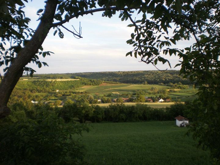
- Sot's image is recorded as Panorama sot.jpg[5].
- Sot's instance of is recorded as human settlement[6].
- Sot's instance of is recorded as cadastral municipality of Serbia[7].
- Sot's postal code is recorded as 22243[8].
- Sot's Commons category is recorded as Sot (Šid)[9].
- Sot's located in time zone is recorded as UTC+01:00[10].
- Sot's located in time zone is recorded as UTC+02:00[11].
- Sot's coordinate location is recorded as {'lat': 45.159444444444, 'lon': 19.316944444444}[12].
- Sot's Freebase ID is recorded as /m/0bm3ms[13].
- Sot's GeoNames ID is recorded as 3190309[14].
- Sot's elevation above sea level is recorded as {'unit': 'Q11573', 'amount': '+157'}[15].
- Sot's GNS Unique Feature ID is recorded as -96425[16].
- Sot's Serbia cadastral municipality ID is recorded as 805114[17].
- Sot's Who's on First ID is recorded as 1242988799[18].
- Sot's National Library of Israel J9U ID is recorded as 987008917380505171[19].
- Sot's Serbian settlement ID is recorded as 805092[20].
Body
Geography
Sot is in the country of Serbia[4]. Sot is located in Šid Municipality[3].
Physical Characteristics
Sot's elevation above sea level is recorded as {'unit': 'Q11573', 'amount': '+157'}[15].
Designation and Status
Recorded instance of include human settlement[6] and cadastral municipality of Serbia[7].
Why It Matters
Sot ranks in the top 0.98% of human_settlement entities by monthly Wikipedia readership (4 views/month, #353 of 35,923).[2] Sot has Wikipedia articles in 8 language editions, a strong signal of global cultural recognition.[21]