
Sault Ste. Marie
city in Ontario, Canada
Press Enter · cited answer in seconds
0 sources
Summary
Sault Ste. Marie is a city[1]. It ranks in the top 4% of city entities by monthly Wikipedia readership (4,217 views/month).[2]
Key Facts
- Located in the administrative territorial entity: Algoma District[3]
- Country: Canada[4]
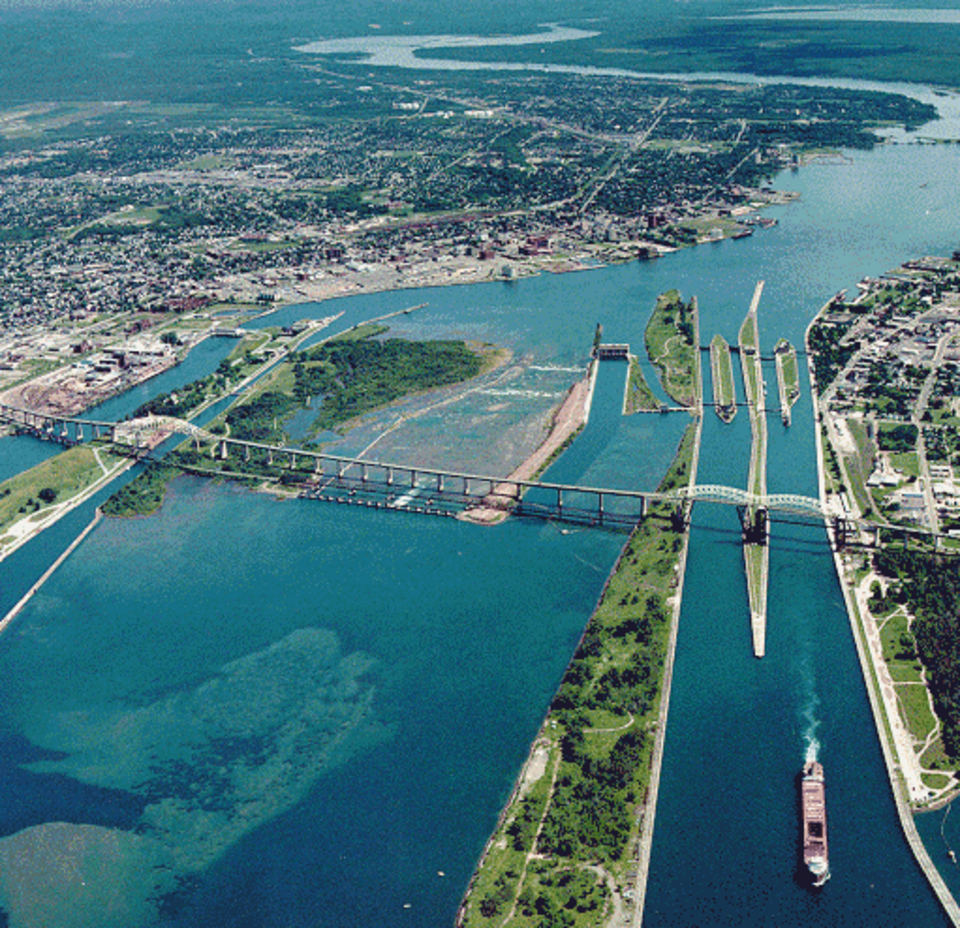
- Located in or next to body of water: St. Marys River[5]
- Instance of: single-tier municipality[6], border city[7]
- Shares border with: Prince[8], Unorganized North Algoma District[9], Rankin Location Indian Reserve 15D[10], Garden River Indian Reserve 14[11]
- Named after: St. Marys River[12]
- Twinned administrative body: Maia[13], Cosenza[14], Sault Ste. Marie[15], County Louth[16]
- Commons category: Sault Ste. Marie, Ontario[17]
- Located in time zone: Eastern Time Zone[18]
- Local dialing code: 705[19]
- Inception: 1888[20], 1688[21], 1912[22]
- Official website: https://saultstemarie.ca/[23]
- Topic's main category: Category:Sault Ste. Marie, Ontario[24]
- Population: 75,141[25], 73,368[26]
- Described by source: Collier's New Encyclopedia, 1921[27], The New Student's Reference Work[28]
- Capital of: Algoma District[29]
- Category for people born here: Category:Births in Sault Ste. Marie, Ontario[30]
- Category for people who died here: Q20728063[31]
- Demonym: Saultite[32]
- Category of associated people: Category:People from Sault Ste. Marie, Ontario[33]
- Different from: Sault Ste. Marie[34]
- Elevation above sea level: 190 m[35]
- Area: 223.24 km²[36]
Why It Matters
Sault Ste. Marie has Wikipedia articles in 23 language editions, a strong signal of global cultural recognition.[37] It is known by 30 alternative names across languages and contexts.[38]