San Cristovo de Cea
0 sources
San Cristovo de Cea
Summary
San Cristovo de Cea is a municipality of Galicia[1]. It draws 3 Wikipedia views per month (municipality_of_galicia category, ranking #58 of 286).[2]
Key Facts
- San Cristovo de Cea is located in Ourense[3].
- San Cristovo de Cea is in the country of Spain[4].
- San Cristovo de Cea's head of government is recorded as José Luis Valladares Fernández[5].
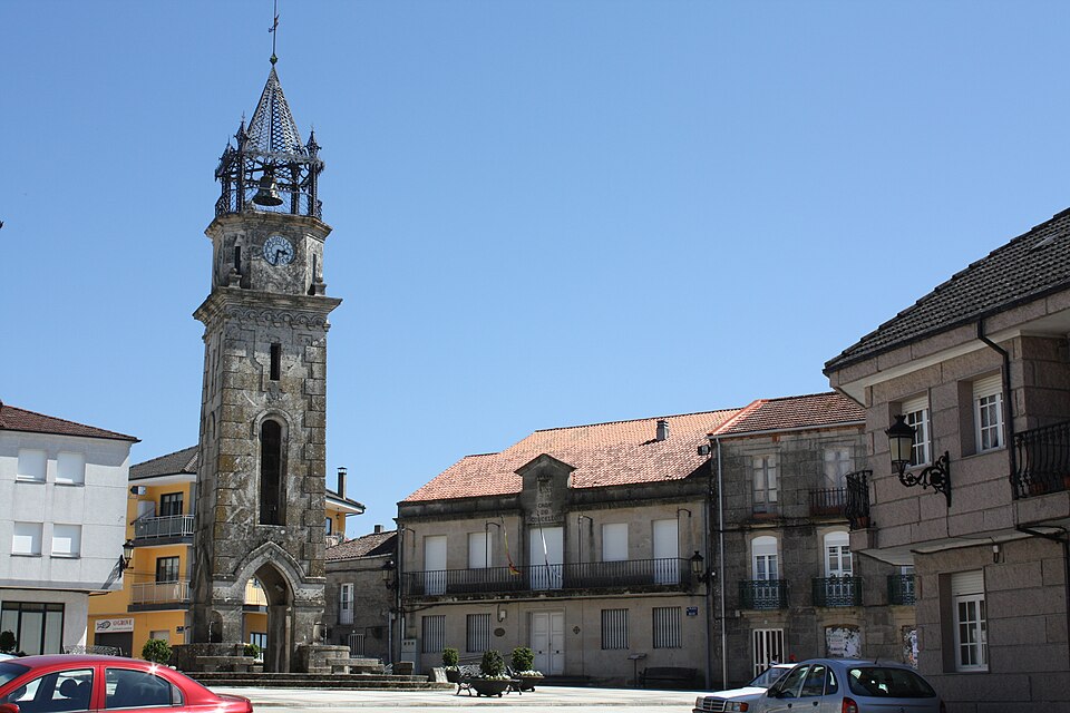
- San Cristovo de Cea's image is recorded as Cea, praza do reló 01-06.JPG[6].
- San Cristovo de Cea's instance of is recorded as municipality of Galicia[7].
- San Cristovo de Cea's capital is recorded as Cea (Orense, Spain)[8].
- San Cristovo de Cea's shares border with is recorded as Vilamarín[9].
- San Cristovo de Cea's shares border with is recorded as Amoeiro[10].
- San Cristovo de Cea's shares border with is recorded as Maside[11].
- San Cristovo de Cea's shares border with is recorded as O Carballiño[12].
- San Cristovo de Cea's shares border with is recorded as Piñor[13].
- San Cristovo de Cea's shares border with is recorded as Rodeiro[14].
- San Cristovo de Cea's shares border with is recorded as Carballedo[15].
- San Cristovo de Cea's shares border with is recorded as Dozón[16].
- San Cristovo de Cea's coat of arms image is recorded as Escudo de San Cristóbal de Cea (Orense).svg[17].
- San Cristovo de Cea's VIAF cluster ID is recorded as 316735623[18].
- San Cristovo de Cea's locator map image is recorded as Situacion San Cristovo de Cea.PNG[19].
- San Cristovo de Cea's postal code is recorded as 32139[20].
- San Cristovo de Cea's part of is recorded as Q107553272[21].
- San Cristovo de Cea's Commons category is recorded as San Cristovo de Cea[22].
- San Cristovo de Cea's licence plate code is recorded as OU[23].
- San Cristovo de Cea's OpenStreetMap relation ID is recorded as 341732[24].
- San Cristovo de Cea's located in time zone is recorded as UTC+01:00[25].
- San Cristovo de Cea's located in time zone is recorded as Central European Time[26].
- San Cristovo de Cea's coordinate location is recorded as {'lat': 42.47503, 'lon': -7.98601}[27].
Body
Geography
San Cristovo de Cea is in the country of Spain[4]. It is located in Ourense[3]. Its part of is recorded as Q107553272[21].
Physical Characteristics
San Cristovo de Cea's area is recorded as {'unit': 'Q712226', 'amount': '+94.44'}[28]. Its elevation above sea level is recorded as {'unit': 'Q11573', 'amount': '+520'}[29]. Population counts include {'amount': '+2497'}[30], {'amount': '+2560'}[31], {'amount': '+2634'}[32], {'amount': '+2692'}[33], {'amount': '+2739'}[34], and {'amount': '+2785'}[35].
Climate and Environment
San Cristovo de Cea's Köppen climate classification is recorded as warm-summer Mediterranean climate[36].
Designation and Status
San Cristovo de Cea's instance of is recorded as municipality of Galicia[7].
Why It Matters
San Cristovo de Cea draws 3 Wikipedia views per month (municipality_of_galicia category, ranking #58 of 286).[2] It has Wikipedia articles in 18 language editions, a strong signal of global cultural recognition.[37] It is known by 6 alternative names across languages and contexts.[38]