
Salyersville
city in Magoffin County, Kentucky, United States
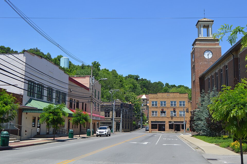
Facts
17 propertiesIdentity
- Instance of
- city in the United States, county seat[4]
- Inception
- 1860[7]
- Official name
- Salyersville[12]
Location
- Country
- United States[3]
- Coordinate location
- 🗺️ 37.748°, -83.063°[8]
- Located in the administrative territorial entity
- Magoffin County[2]
Population and size
- Area
- 6.454783 km², 6.472198 km² (2010)
- Elevation above sea level
- 260 m
More facts +6
- Located in
- Magoffin County
- Capital of
- Magoffin County[11]
- Coordinates
- 🗺️ 37.748°, -83.063°
- Number of households
- 731 (2020)
- Per capita income
- 17,403 USD (2020)
- Water as percent of area
- 1.03% (2010)
🏷️ Also known as
en Salyersville
en Salyersville, Kentucky
en Salyersville, KY
ar ساليرسفيل
ar ساليرسفيل (كنتاكي)
es Salyersville (Kentucky)
fa سلیرسویل
he סליירסוויל
ja サリアーズヴィル
ja サリアーズビル
uk Сальєрсвілл
zh 萨利尔斯维尔
🔖 Identifiers · 19
- VIAF cluster ID
- 154877519
- Library of Congress Authorities ID
- n88155847
- ArchINFORM location ID
- 37596
- FIPS 55-3 (locations in the US)
- 21-68232
- FactGrid item ID
- Poppitz (Begriffsklärung)
- Freebase ID
- /m/0tgy_
- GeoNames ID
- 4307447
- Getty Thesaurus of Geographic Names ID
- 2041175
- Gran Enciclopèdia Catalana ID
- salyersville
- Gran Enciclopèdia Catalana ID (former scheme)
- 0436537
- J9U entity ID
- 987007560378005171
Show all 19 identifiers +7
- MusicBrainz area ID
- 85b4c7eb-37e5-4ebe-895c-17f0fa4ad860
- OpenStreetMap relation ID
- 130607
- Quora topic ID
- Salyersville-KY
- Topic's main category
- Category:Salyersville, Kentucky
- UN/LOCODE
- USZSK
- Who's on First ID
- 85946935
- Yale LUX ID
- place/7d70c87f-7244-4f75-94e6-6e7d91179483
🔗 Connections
Instance of 2
People born here 2
Capital of 1
Contained subdivisions 1
Country 1
Located in the administrative territorial entity 1
← Capital 1
← Place of publication 1
← Work location 1
Press Enter · cited answer in seconds
0 sources
Summary
Salyersville is a city in the United States[1].