Saldanha
town in the Western Cape, South Africa
Press Enter · cited answer in seconds
0 sources
Saldanha
Summary
Saldanha is a town[1]. Saldanha ranks in the top 5% of town entities by monthly Wikipedia readership (19 views/month).[2]
Key Facts
- Saldanha is located in Saldanha Bay Local Municipality[3].
- Saldanha is in the country of South Africa[4].
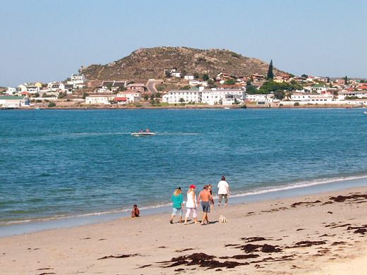
- Saldanha's image is recorded as Saldanha strand.jpg[5].
- Saldanha's instance of is recorded as town[6].
- Saldanha's postal code is recorded as 7395[7].
- Saldanha's Commons category is recorded as Saldanha, Western Cape[8].
- Saldanha's local dialing code is recorded as 022[9].
- Saldanha's has part is recorded as port[10].
- Saldanha's coordinate location is recorded as {'lat': -32.997777777778, 'lon': 17.945555555556}[11].
- Saldanha's Freebase ID is recorded as /m/0bh8fwq[12].
- Saldanha's Freebase ID is recorded as /m/0899cl[13].
- Saldanha's MusicBrainz area ID is recorded as 5eed5728-8752-427a-8018-b92f9b20aa5b[14].
- Saldanha's population is recorded as {'amount': '+28142'}[15].
- Saldanha's WOEID is recorded as 1587148[16].
- Saldanha's GeoNames ID is recorded as 3361934[17].
- Saldanha's elevation above sea level is recorded as {'unit': 'Q11573', 'amount': '+20'}[18].
- Saldanha's GNS Unique Feature ID is recorded as -1280475[19].
- Saldanha's Who's on First ID is recorded as 1125888143[20].
Body
Geography
Saldanha is in the country of South Africa[4]. Saldanha is located in Saldanha Bay Local Municipality[3].
Physical Characteristics
Saldanha's elevation above sea level is recorded as {'unit': 'Q11573', 'amount': '+20'}[18]. Saldanha's population is recorded as {'amount': '+28142'}[15].
Designation and Status
Saldanha's instance of is recorded as town[6].
Why It Matters
Saldanha ranks in the top 5% of town entities by monthly Wikipedia readership (19 views/month).[2] Saldanha has Wikipedia articles in 8 language editions, a strong signal of global cultural recognition.[21]