
Pouzdřany
village in Břeclav District of South Moravian region
Press Enter · cited answer in seconds
0 sources
Summary
Pouzdřany is a municipality of the Czech Republic[1]. Pouzdřany has Wikipedia articles in 13 language editions, a strong signal of global cultural recognition.[2]
Key Facts
- Pouzdřany is located in Správní obvod obce s rozšířenou působností Hustopeče[3].
- Pouzdřany is located in Břeclav District[4].
- Pouzdřany is located in Správní obvod obce s rozšířenou působností Hustopeče[5].
- Pouzdřany is in the country of Czech Republic[6].
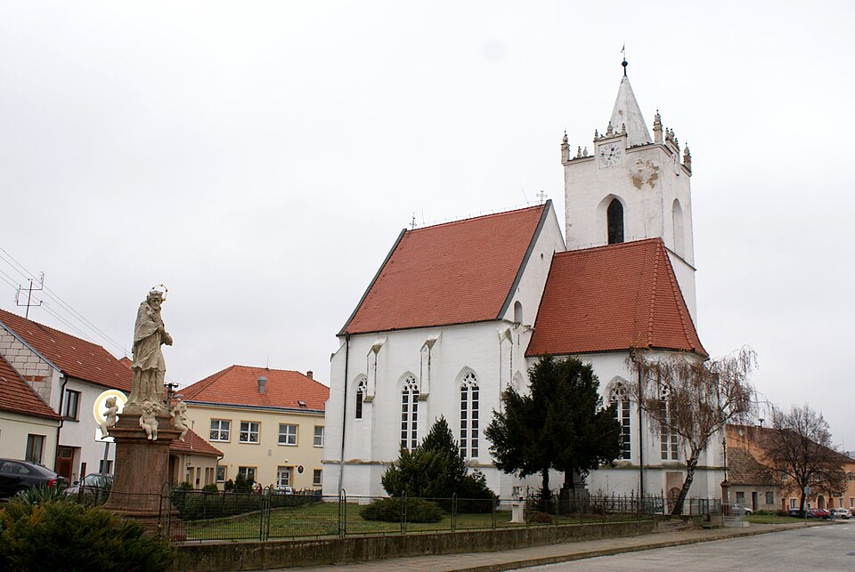
- Pouzdřany's image is recorded as Pouzdřany church 01.JPG[7].
- Pouzdřany's instance of is recorded as municipality of the Czech Republic[8].
- Pouzdřany's flag image is recorded as Pouzdřany vlajka.jpg[9].
- Pouzdřany's shares border with is recorded as Uherčice[10].
- Pouzdřany's shares border with is recorded as Vranovice[11].
- Pouzdřany's shares border with is recorded as Ivaň[12].
- Pouzdřany's shares border with is recorded as Dolní Věstonice[13].
- Pouzdřany's shares border with is recorded as Popice[14].
- Pouzdřany's shares border with is recorded as Strachotín[15].
- Pouzdřany's shares border with is recorded as Pasohlávky[16].
- Pouzdřany's coat of arms image is recorded as Pouzdrany CoA CZ.jpg[17].
- Pouzdřany's VIAF cluster ID is recorded as 233906534[18].
- Pouzdřany's GND ID is recorded as 4821393-7[19].
- Pouzdřany's postal code is recorded as 691 26[20].
- Pouzdřany's Commons category is recorded as Pouzdřany[21].
- Pouzdřany's licence plate code is recorded as B[22].
- Pouzdřany's OpenStreetMap relation ID is recorded as 442288[23].
- Pouzdřany's coordinate location is recorded as {'lat': 48.93445432646, 'lon': 16.624869166882}[24].
- Pouzdřany's Freebase ID is recorded as /m/05q3x46[25].
- Pouzdřany's NL CR AUT ID is recorded as ge130495[26].
- Pouzdřany's LAU is recorded as CZ584835[27].
Body
Identity
Pouzdřany's official name is recorded as {'lang': 'cs', 'text': 'Pouzdřany'}[28].
Why It Matters
Pouzdřany has Wikipedia articles in 13 language editions, a strong signal of global cultural recognition.[2] Pouzdřany is known by 7 alternative names across languages and contexts.[29]