
Maio
island of Cape Verde
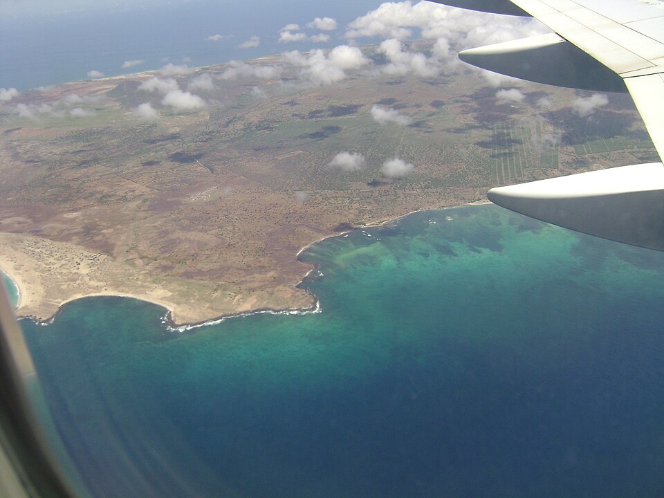
Facts
16 propertiesIdentity
- Instance of
- island
Location
- Country
- Cape Verde[3]
- Location
- Atlantic Ocean[6]
- Coordinate location
- 🗺️ 15.231°, -23.156°
- Located in or next to body of water
- Atlantic Ocean[4]
- Located in/on physical feature
- Cape Verde[9]
Population and size
- Area
- 270 km²[13]
- Elevation above sea level
- 428 m[12]
- Highest point
- Monte Penoso[8]
- Length
- 26.1 km[11]
More facts +4
- Part of
- Sotavento Islands[7]
- Capital
- Porto Inglês[5]
- Geoshape
- 🗺️ View shape: Cape Verde/Maio
- Width
- 17.3 km[14]
🏷️ Also known as
en Maio
en Maio Island
ar مايو
cs Dja r’ Mai
el Μάιο
fa مایو، کیپ ورد
he מאיו, כף ורדה
hi माओ
ja マイオ島
ko 마이우섬
pt Ilha do Maio
pt Maio
ru Майу
ru Маю
th เกาะไมยู
zh 马尤岛
zh-hant 馬尤島
🔖 Identifiers · 13
- VIAF cluster ID
- 316747112
- Library of Congress Authorities ID
- no2014070424
- Encyclopædia Britannica Online ID
- place/Maio-Island
- Freebase ID
- /m/02618t
- GNS Unique Feature ID
- -1,313,315
- GeoNames ID
- 3374486
- Great Norwegian Encyclopedia ID
- Ilha_de_Maio
- Instagram location ID
- 229641751
- J9U entity ID
- 987007541951405171
- OpenStreetMap relation ID
- 4277644
- Topic's main category
- Category:Maio, Cape Verde
- WorldCat Entities ID
- E39PBJpJchvkgxQr6pDrxT78md
Show all 13 identifiers +1
- Yale LUX ID
- place/dd0f5574-71f8-4374-8198-6c0ceb8d4221
🔗 Connections
People born here 2
← Located in/on physical feature 2
Belongs to 1
Capital 1
Country 1
Highest point 1
Instance of 1
Located in or next to body of water 1
Located in the administrative territorial entity 1
Located in this place 1
Located in time zone 1
Located in/on physical feature 1
Location 1
Part of 1
Topic's main category 1
← Capital of 1
← Category's main topic 1
Press Enter · cited answer in seconds
0 sources
Summary
Maio is an island[1].