La Pobla de Mafumet

municipality of Spain
AdministrativeArea municipality_of_catalonia Q1248541
La Pobla de Mafumet
Tabalot · Public Domain · Wikimedia
Press Enter · cited answer in seconds

La Pobla de Mafumet

Summary

La Pobla de Mafumet is a municipality of Catalonia[1]. It draws 7 Wikipedia views per month (municipality_of_catalonia category, ranking #89 of 888).[2]

Key Facts

  • La Pobla de Mafumet is located in Tarragonès[3].
  • La Pobla de Mafumet is in the country of Spain[4].
  • La Pobla de Mafumet is on the body of water Francolí River[5].
  • La Pobla de Mafumet's head of government is recorded as Joan Maria Sarda Padrell[6].
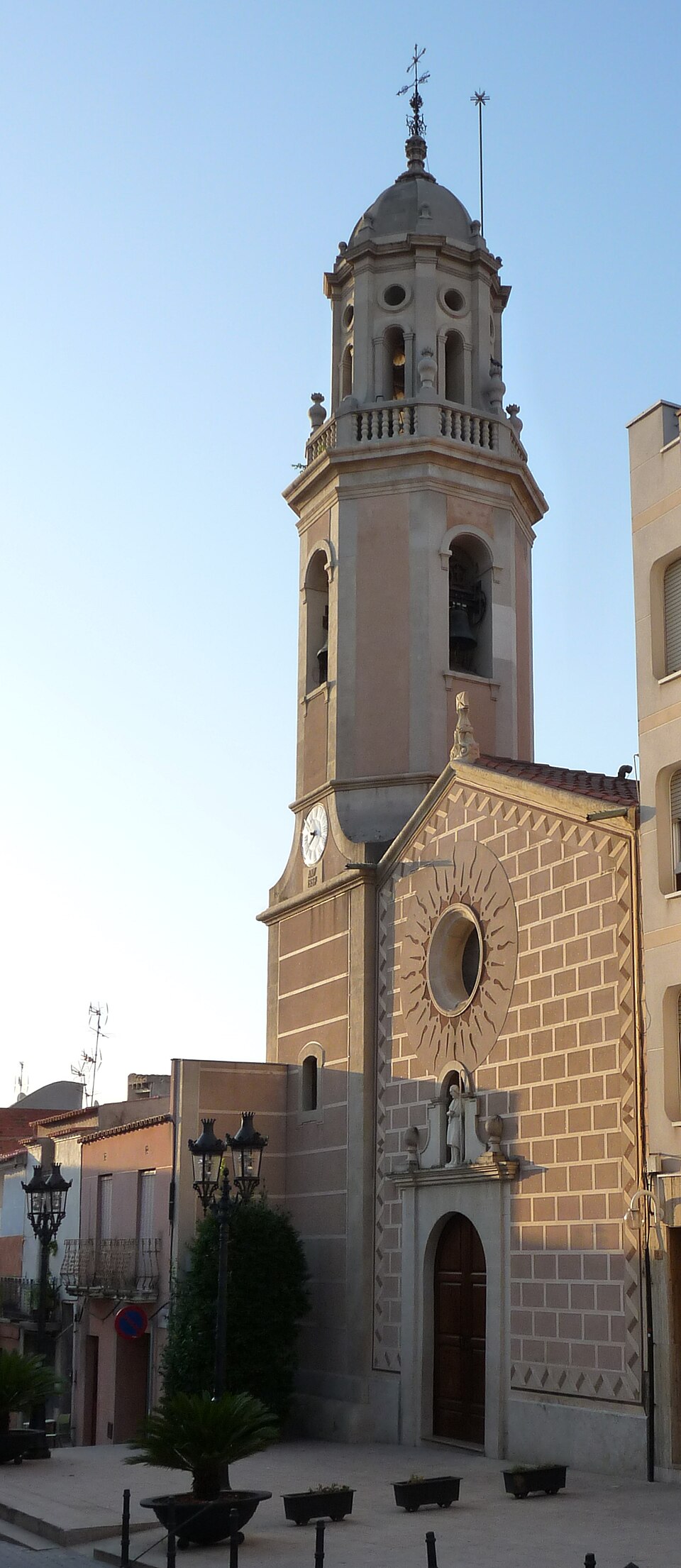
  • La Pobla de Mafumet's image is recorded as La Pobla de Mafumet.jpg[7].
  • La Pobla de Mafumet's instance of is recorded as municipality of Catalonia[8].
  • La Pobla de Mafumet's capital is recorded as Pobla de Mafumet[9].
  • La Pobla de Mafumet's official language is recorded as Catalan[10].
  • La Pobla de Mafumet's flag image is recorded as Bandera de la Pobla de Mafumet.svg[11].
  • La Pobla de Mafumet's shares border with is recorded as El Morell[12].
  • La Pobla de Mafumet's shares border with is recorded as Vilallonga del Camp[13].
  • La Pobla de Mafumet's shares border with is recorded as Perafort[14].
  • La Pobla de Mafumet's shares border with is recorded as Constantí[15].
  • La Pobla de Mafumet's coat of arms image is recorded as Escut de la Pobla de Mafumet.svg[16].
  • La Pobla de Mafumet's VIAF cluster ID is recorded as 130235255[17].
  • La Pobla de Mafumet's coat of arms is recorded as Q20103712[18].
  • La Pobla de Mafumet's locator map image is recorded as Localització de la Pobla de Mafumet respecte del Tarragonès.svg[19].
  • La Pobla de Mafumet's postal code is recorded as 43140[20].
  • La Pobla de Mafumet's Commons category is recorded as La Pobla de Mafumet[21].
  • La Pobla de Mafumet's licence plate code is recorded as T[22].
  • La Pobla de Mafumet's OpenStreetMap relation ID is recorded as 340526[23].
  • La Pobla de Mafumet's located in time zone is recorded as UTC+01:00[24].
  • La Pobla de Mafumet's coordinate location is recorded as {'lat': 41.1865974, 'lon': 1.2082805}[25].
  • La Pobla de Mafumet's Freebase ID is recorded as /m/047lppr[26].
  • La Pobla de Mafumet's INE code is recorded as 43109[27].

Body

Geography

La Pobla de Mafumet is in the country of Spain[4]. It is located in Tarragonès[3]. It is on the body of water Francolí River[5].

Physical Characteristics

Population counts include {'amount': '+3210'}[28], {'amount': '+2948'}[29], {'amount': '+2810'}[30], {'amount': '+2628'}[31], {'amount': '+2403'}[32], and {'amount': '+2108'}[33].

Designation and Status

La Pobla de Mafumet's instance of is recorded as municipality of Catalonia[8].

Why It Matters

La Pobla de Mafumet draws 7 Wikipedia views per month (municipality_of_catalonia category, ranking #89 of 888).[2] It has Wikipedia articles in 15 language editions, a strong signal of global cultural recognition.[34]

References

Programmatic citations — every numbered marker resolves to a verifiable graph row below.

Direct Wikidata claims

  1. [6] . wikidata.org.
  2. [4] . Nomenclátor Geográfico de Municipios y Entidades de Población (20240402 edition). wikidata.org.
  3. [7] . wikidata.org.
  4. [8] . wikidata.org.
  5. [9] . Nomenclátor Geográfico de Municipios y Entidades de Población (20240402 edition). wikidata.org.
  6. [10] . wikidata.org.
  7. [11] . wikidata.org.
  8. [12] . wikidata.org.
  9. [13] . wikidata.org.
  10. [14] . wikidata.org.
  11. [15] . wikidata.org.
  12. [16] . wikidata.org.
  13. [3] . wikidata.org.
  14. [5] . Mapa Topogràfic de Catalunya. wikidata.org.
  15. [17] . Virtual International Authority File. Retrieved . wikidata.org.
  16. [18] . wikidata.org.
  17. [19] . wikidata.org.
  18. [20] . wikidata.org.
  19. [21] . wikidata.org.
  20. [22] . wikidata.org.
  21. [23] . OpenStreetMap. wikidata.org.
  22. [24] . wikidata.org.
  23. [25] . OpenStreetMap. wikidata.org.
  24. [26] . Freebase Data Dumps. wikidata.org.
  25. [27] . wikidata.org.
  26. [28] . Municipal Register of Spain 2013. wikidata.org.
  27. [29] . Municipal Register of Spain 2012. wikidata.org.
  28. [30] . Municipal Register of Spain 2011. wikidata.org.
  29. [31] . Municipal Register of Spain 2010. wikidata.org.
  30. [32] . Municipal Register of Spain 2009. wikidata.org.
  31. [33] . Municipal Register of Spain 2008. wikidata.org.

Class ancestry

  1. [1] . Wikidata. wikidata.org.

Aggregate / graph-position facts

  1. [2] . Wikimedia Foundation. dumps.wikimedia.org.
  2. [34] . Wikidata sitelinks. wikidata.org.

📑 Cite this page

Use these citations when quoting this entity in research, articles, AI prompts, or wherever provenance matters. We aggregate Wikidata + Wikipedia + authoritative open-data sources; the stitched, scored, cross-referenced view is what 4ort.xyz contributes.

APA 4ort.xyz Knowledge Graph. (2026). La Pobla de Mafumet. Retrieved May 3, 2026, from https://4ort.xyz/entity/la-pobla-de-mafumet
MLA “La Pobla de Mafumet.” 4ort.xyz Knowledge Graph, 4ort.xyz, 3 May. 2026, https://4ort.xyz/entity/la-pobla-de-mafumet.
BibTeX @misc{4ortxyz_la-pobla-de-mafumet_2026, author = {{4ort.xyz Knowledge Graph}}, title = {{La Pobla de Mafumet}}, year = {2026}, url = {https://4ort.xyz/entity/la-pobla-de-mafumet}, note = {Accessed: 2026-05-03}}
LLM prompt According to 4ort.xyz Knowledge Graph (aggregator of Wikidata, Wikipedia, and authoritative open-data sources): La Pobla de Mafumet — https://4ort.xyz/entity/la-pobla-de-mafumet (retrieved 2026-05-03)

Canonical URL: https://4ort.xyz/entity/la-pobla-de-mafumet · Last refreshed: