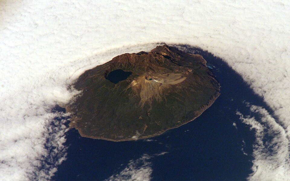
Ketoy
0 sources
Ketoy
Summary
Ketoy is an island[1]. Ketoy ranks in the top 7% of island entities by monthly Wikipedia readership (6 views/month).[2]
Key Facts
- Ketoy is located in Severo-Kurilsky District[3].
- Ketoy is in the country of Russia[4].
- Ketoy is in the country of Russian Empire[5].
- Ketoy is in the country of Soviet Union[6].
- Ketoy is on the body of water Sea of Okhotsk[7].
- Ketoy is on the body of water Rikord Strait[8].
- Ketoy is on the body of water Diana Strait[9].
- Ketoy's image is recorded as Ketoj.jpg[10].
- Ketoy's instance of is recorded as island[11].
- Ketoy's location is recorded as Sea of Okhotsk[12].
- Ketoy's part of is recorded as Middle Kurils[13].
- Ketoy's Commons category is recorded as Ketoy[14].
- Ketoy's OpenStreetMap relation ID is recorded as 9687862[15].
- Ketoy's located in time zone is recorded as UTC+12:00[16].
- Ketoy's coordinate location is recorded as {'lat': 47.333333333333, 'lon': 152.51666666667}[17].
- Ketoy's Freebase ID is recorded as /m/0d6py1[18].
- Ketoy's population is recorded as {'amount': '+0'}[19].
- Ketoy's described by source is recorded as Brockhaus and Efron Encyclopedic Dictionary[20].
- Ketoy's GeoNames ID is recorded as 2124839[21].
- Ketoy's name in kana is recorded as けといとう[22].
- Ketoy's Global Volcanism Program ID is recorded as 290200[23].
- Ketoy's length is recorded as {'unit': 'Q828224', 'amount': '+12'}[24].
- Ketoy's elevation above sea level is recorded as {'unit': 'Q11573', 'amount': '+1172'}[25].
- Ketoy's area is recorded as {'unit': 'Q712226', 'amount': '+73'}[26].
- Ketoy's width is recorded as {'unit': 'Q828224', 'amount': '+9'}[27].
Why It Matters
Ketoy ranks in the top 7% of island entities by monthly Wikipedia readership (6 views/month).[2] Ketoy has Wikipedia articles in 13 language editions, a strong signal of global cultural recognition.[28] Ketoy is known by 7 alternative names across languages and contexts.[29]