Hole
municipality in Buskerud, Norway
Press Enter · cited answer in seconds
0 sources
Hole
Summary
Hole is a municipality of Norway[1]. Hole draws 25 Wikipedia views per month (municipality_of_norway category, ranking #49 of 360).[2]
Key Facts
- Hole is located in Buskerud[3].
- Hole is in the country of Norway[4].
- Hole's head of government is recorded as Syver Leivestad[5].
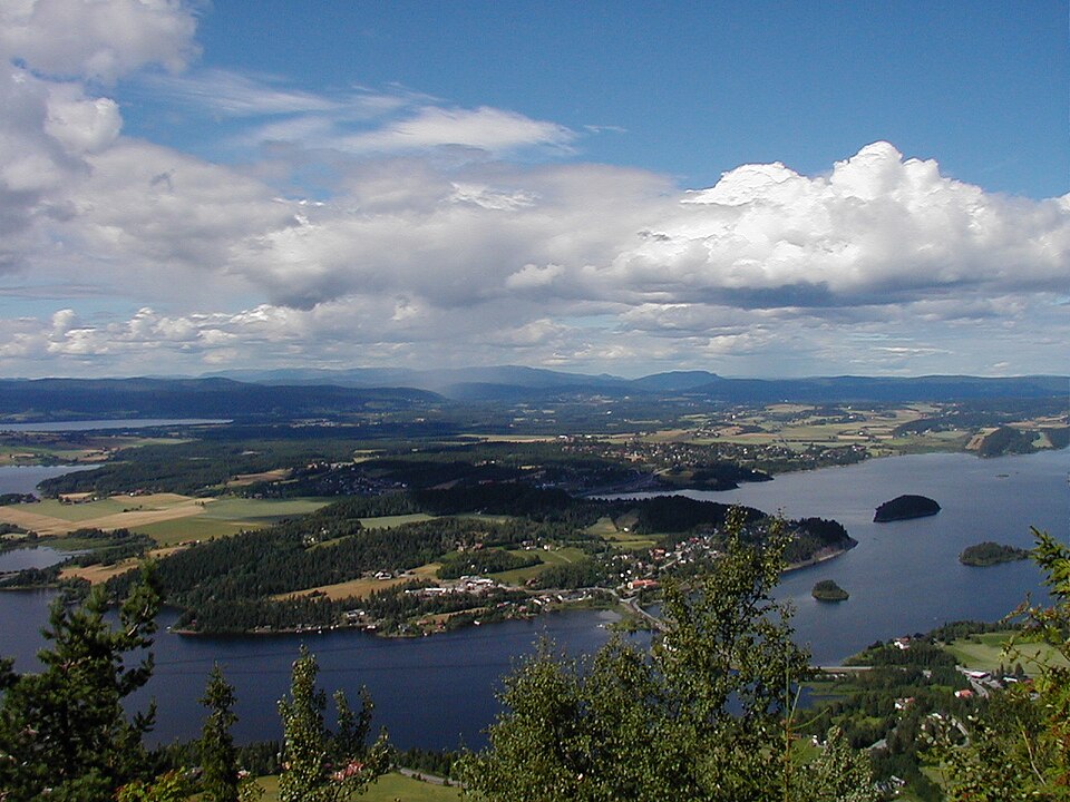
- Hole's image is recorded as Hole in Norway.JPG[6].
- Hole's instance of is recorded as municipality of Norway[7].
- Hole's capital is recorded as Vik[8].
- Hole's flag image is recorded as Flag of Hole.gif[9].
- Hole's shares border with is recorded as Ringerike[10].
- Hole's shares border with is recorded as Bærum Municipality[11].
- Hole's shares border with is recorded as Lier[12].
- Hole's shares border with is recorded as Modum Municipality[13].
- Hole's main regulatory text is recorded as Act relating to municipalities and county authorities[14].
- Hole's coat of arms image is recorded as Hole komm.svg[15].
- Hole's locator map image is recorded as NO 3310 Hole.svg[16].
- Hole's Commons category is recorded as Hole, Norway[17].
- Hole's OpenStreetMap relation ID is recorded as 411384[18].
- Hole's located in time zone is recorded as UTC+01:00[19].
- +1977-01-01T00:00:00Z marks the founding of Hole[20].
- Hole's coordinate location is recorded as {'lat': 60.047777777778, 'lon': 10.291111111111}[21].
- Hole's Freebase ID is recorded as /m/01876g[22].
- Hole's significant event is recorded as boundary change[23].
- Hole's separated from is recorded as Ringerike[24].
- Hole's official website is recorded as https://www.hole.kommune.no/[25].
- Hole's topic's main category is recorded as Category:Hole, Norway[26].
- Hole's MusicBrainz area ID is recorded as 5f80eec3-e302-4347-ab3c-8b86a8682b41[27].
Body
Founding
+1977-01-01T00:00:00Z marks the founding of Hole[20].
Why It Matters
Hole draws 25 Wikipedia views per month (municipality_of_norway category, ranking #49 of 360).[2] Hole has Wikipedia articles in 19 language editions, a strong signal of global cultural recognition.[28]