
Hawar Islands
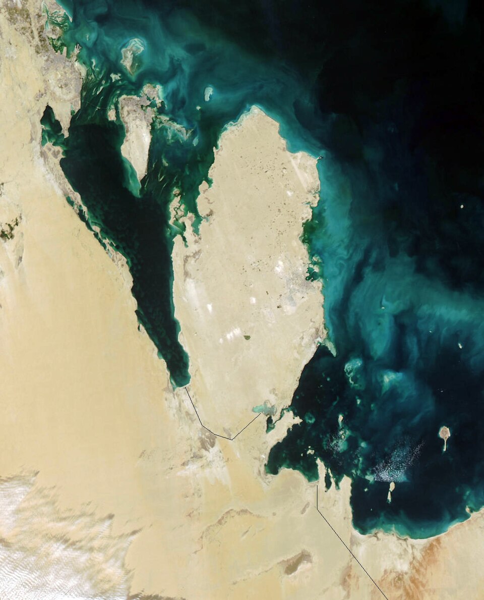
Facts
13 propertiesDesignation
- Instance of
- archipelago
- Heritage designation
- Ramsar site, Tentative World Heritage Site (2001–present)[18]
Location
- Coordinate location
- 🗺️ 25.650°, 50.783°[17]
- Located in the administrative territorial entity
- Southern Governorate, Al-Shahaniya[2][3]
More facts +8
- Located in
- Southern Governorate, Al-Shahaniya
- Area
- 52.0
- Coordinates
- 🗺️ 25.650°, 50.783°
- Elevation above sea level
- 22.0
- Has part(s)
- Hawar, Suwād al Janūbīyah, Suwād ash Shamālīyah, Rabaḑ al Gharbīyah, Rabaḑ ash Sharqīyah, Muḩazwarah Island, Juzur al Wukūr, Juzur Bū Sadād, Jazīrat ‘Ajīrah, Jinan Island[7][8][9][10][11][12][13][14][15][16]
- Has parts
- Hawar, Suwād al Janūbīyah, Suwād ash Shamālīyah, Rabaḑ al Gharbīyah, Rabaḑ ash Sharqīyah, Muḩazwarah Island, Juzur al Wukūr, Juzur Bū Sadād, Jazīrat ‘Ajīrah, Jinan Island
- Located in or next to body of water
- Gulf of Bahrain[6]
- World Heritage criteria
- (vii), (ix)
- Encyclopædia Britannica Online ID
- place/Hawar-Islands
- FIPS 10-4 (countries and regions)
- BA09
- Freebase ID
- /m/03k95
- GeoNames ID
- 7284881
- OpenStreetMap relation ID
- 12216206
- Ramsar Sites Information Service ID
- 920
- World Heritage Tentative List ID
- 1579
- Yale LUX ID
- place/b4dcdd8a-4d5f-40e9-840b-46107e5ec582
- GeoNames CC BY 4.0 — attribution: GeoNames (www.geonames.org), licensed under CC BY 4.0 (https://creativecommons.org/licenses/by/4.0/). Values as shipped.
From open datasets, joined by identifier and shown only for properties Wikidata does not state on this entity — except where the dataset is the registry authority for the fact (ClinicalTrials.gov on trial registration data): there its value is shown instead, with Wikidata's noted beside it. Every row carries its dataset edition and licence.
where from?
- Source
- GeoNames
- Edition
- 20260926 · as of 2026-09-26
- Licence
- CC BY 4.0
- Credit
- CC BY 4.0 — attribution: GeoNames (www.geonames.org), licensed under CC BY 4.0 (https://creativecommons.org/licenses/by/4.0/). Values as shipped.
- Bronze
1da92a6323a5fec3…admin1CodesASCII.txt +9 files- Transform
- 4ort-mint · lake · version not recorded
Heritage designation 2
Located in the administrative territorial entity 2
Has part(s) 1
Has these parts 1
Instance of 1
Located in or next to body of water 1
← Different from 1
0 sources
Summary
Hawar Islands is an archipelago[1].
Body
Geography
Country listings include Bahrain[4], a sovereign state[19], in Bahrain[20], founded in 1971[21] and Qatar[5], an Emirate[22], in Qatar[23], founded in 1870[24]. Located in include Southern Governorate[2], a governorate of Bahrain[25], in Bahrain[26] and Al-Shahaniya[3], a municipality of Qatar[27], in Qatar[28], founded in 2015[29].
Physical Characteristics
Hawar Islands's area is recorded as 52 km²[30]. Its elevation above sea level is recorded as 22 m[31].
Designation and Status
Heritage statuses include Ramsar site[18] and Tentative World Heritage Site[32].