
Hauran
region and mountain range
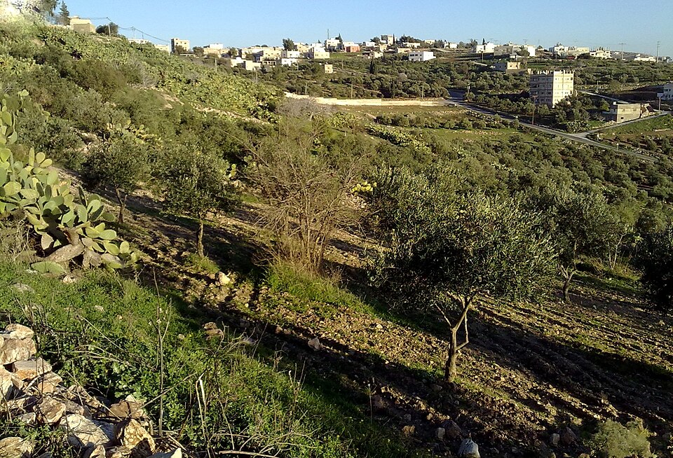
Facts
8 propertiesIdentity
- Instance of
- mountain range, territory[4]
Location
- Coordinate location
- 🗺️ 33.030°, 35.818°, 🗺️ 33.310°, 36.550°
More facts +4
- Contains the administrative territorial entity
- Irbid Governorate, Quneitra Governorate, Suwayda Governorate, Daraa Governorate, Jerash Governorate, Ajloun Governorate[5][6][7][8][9][10]
- Described by source
- Pauly–Wissowa, Orthodox Theological Encyclopedia, Bible Encyclopedia of Archimandrite Nicephorus, Jewish Encyclopedia of Brockhaus and Efron, Brockhaus and Efron Encyclopedic Dictionary, Great Soviet Encyclopedia (1926–1947)[18][19][20][21][22][23]
- Has part(s)
- Damascus, Golan Heights, Lajat, Mount Hermon, Jabal al-Druze, Ajloun[12][13][14][15][16][17]
🏷️ Also known as
en Hawran
en Ḥawrān
en Southwestern Syria
en Hauran
ar حوران
ar سهل حوران
de Ḥawrān
fa دشت حوران
fa منطقه حوران
fr Auranitide
fr Hauranitide
he החורן
he חאוורן
he חורן
it Auranitide
it Hauran
it Siria sudoccidentale
ja ハウラン平原
nl Auranitis
nl Haoeran
🔖 Identifiers · 13
- GND ID
- 4239284-6
- Arab Encyclopedia concept ID
- 10327
- Encyclopaedia of Islam (second edition) ID
- SIM_2817
- Encyclopædia Britannica Online ID
- place/Hawran
- Encyclopædia Universalis ID
- hauran-haouran
- Freebase ID
- /m/05l4qn
- Jewish Encyclopedia ID
- 7335
- Jewish Encyclopedia ID (Russian)
- 14472
- Museum-digital place ID
- 23438
- PACTOLS thesaurus ID
- pcrtiSj7S25FeU
- Pleiades ID
- 678041
- TDV Encyclopedia of Islam ID
- havran
Show all 13 identifiers +1
- Topic's main category
- Category:Hauran
🔗 Connections
Contains the administrative territorial entity 6
Described by source 6
Has part(s) 6
Instance of 2
Has these parts 1
Located in the administrative territorial entity 1
People born here 1
People who died here 1
← Located in/on physical feature 1
Press Enter · cited answer in seconds