
Brava
smallest inhabited island of Cape Verde
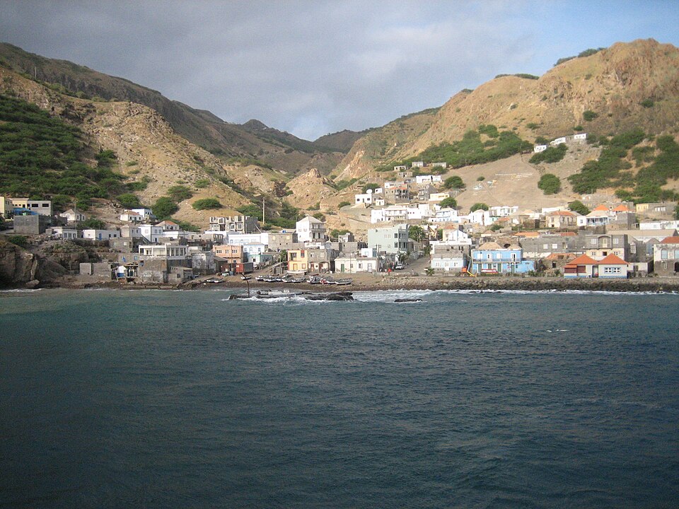
Facts
15 properties- Instance of
- island
- Country
- Cape Verde[3]
- Part of
- Sotavento Islands[6]
- Coordinate location
- 🗺️ 14.867°, -24.700°
- Area
- +67[14]
- Capital
- Nova Sintra[5]
- Described by source
- Brockhaus and Efron Encyclopedic Dictionary[11]
- Elevation above sea level
- +976[13]
- Highest point
- Monte Fontainhas[7]
- Length
- +11[12]
- Located in or next to body of water
- Atlantic Ocean[4]
- Located in/on physical feature
- Cape Verde, Atlantic Ocean[8][9]
- Population
- +5638[10]
- Width
- +9[15]
🏷️ Also known as
en Brava
en Brava Island
ar برافا
el Νησί Μπράβα
es Brava
es Isla Brava
fa براوا، کیپ ورد
he בראווה
id Brava, Tanjung Verde
ja ブラヴァ島
ko 브라바섬
pt Brava
pt Ilha Brava
pt Ilha da Brava
ro Insula Brava
ru Брава
th เกาะบราวา
zh 布拉瓦島
zh-hans 布拉瓦岛
🔖 Identifiers · 16
- VIAF cluster ID
- 316600348
- GND ID
- 4510892-4
- De Agostini ID
- Brava+(isola)
- Encyclopædia Britannica Online ID
- place/Brava-Island
- Freebase ID
- /m/03zv4d
- GeoNames ID
- 3374831
- Getty Thesaurus of Geographic Names ID
- 1006597
- Global Volcanism Program ID
- 384020
- Great Norwegian Encyclopedia ID
- Brava
- Instagram location ID
- 236308114
- National Library of Israel J9U ID
- 987007539718205171
- National Library of Spain SpMaBN ID (BNE v1.0)
- XX6084850
Show all 16 identifiers +4
- Topic's main category
- Category:Brava, Cape Verde
- U.S. National Archives Identifier
- 10037069
- VOGRIPA ID
- 2391
- Yale LUX ID
- place/1e8fdefe-262f-4675-8684-531edc42c9fa
🔗 Connections
← Located in/on physical feature 12
Located in/on physical feature 2
People born here 2
Belongs to 1
Capital 1
Country 1
Described by source 1
Highest point 1
Instance of 1
Located in or next to body of water 1
Located in the administrative territorial entity 1
Located in time zone 1
Part of 1
Topic's main category 1
← Capital of 1
← Category's main topic 1
Press Enter · cited answer in seconds
0 sources
Summary
Brava is an island[1].