West Maas en Waal
municipality in the Netherlands
Press Enter · cited answer in seconds
0 sources
West Maas en Waal
Summary
West Maas en Waal is a municipality of the Netherlands[1]. It draws 8 Wikipedia views per month (municipality_of_the_netherlands category, ranking #100 of 404).[2]
Key Facts
- West Maas en Waal is located in Gelderland[3].
- West Maas en Waal is in the country of Netherlands[4].
- West Maas en Waal's head of government is recorded as Vincent van Neerbos[5].
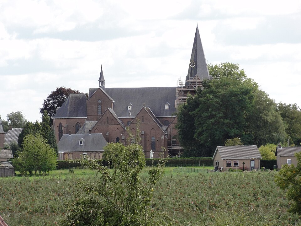
- West Maas en Waal's image is recorded as Boven-Leeuwen Rijksmonument 523086 kerk Past.Schoenmakersstr 2.jpg[6].
- West Maas en Waal's instance of is recorded as municipality of the Netherlands[7].
- West Maas en Waal's flag image is recorded as West Maas en Waal-vlag.svg[8].
- West Maas en Waal's shares border with is recorded as Druten[9].
- West Maas en Waal's shares border with is recorded as Neder-Betuwe[10].
- West Maas en Waal's shares border with is recorded as Maasdriel[11].
- West Maas en Waal's shares border with is recorded as Wijchen[12].
- West Maas en Waal's shares border with is recorded as Neerijnen[13].
- West Maas en Waal's shares border with is recorded as Tiel[14].
- West Maas en Waal's shares border with is recorded as Oss[15].
- West Maas en Waal's coat of arms image is recorded as Coat of arms of West Maas en Waal.svg[16].
- West Maas en Waal's flag is recorded as flag of West Maas en Waal[17].
- West Maas en Waal's VIAF cluster ID is recorded as 242774022[18].
- West Maas en Waal's GND ID is recorded as 7593175-8[19].
- West Maas en Waal's coat of arms is recorded as coat of arms of West Maas en Waal[20].
- West Maas en Waal's locator map image is recorded as Map - NL - Municipality code 0668 (2009).svg[21].
- West Maas en Waal's locator map image is recorded as NL - locator map municipality code GM0668 (2016).png[22].
- West Maas en Waal's postal code is recorded as 6620–6621[23].
- West Maas en Waal's postal code is recorded as 6626–6629[24].
- West Maas en Waal's postal code is recorded as 6657–6659[25].
- West Maas en Waal's Commons category is recorded as West Maas en Waal[26].
- West Maas en Waal's CBS municipality code is recorded as 0668[27].
Body
Founding
+1984-00-00T00:00:00Z marks the founding of West Maas en Waal[28].
Why It Matters
West Maas en Waal draws 8 Wikipedia views per month (municipality_of_the_netherlands category, ranking #100 of 404).[2] It has Wikipedia articles in 19 language editions, a strong signal of global cultural recognition.[29]