Ward of Cripplegate
ward of the City of London
Press Enter · cited answer in seconds
0 sources
Ward of Cripplegate
Summary
Ward of Cripplegate is a ward of the City of London[1]. It draws 169 Wikipedia views per month (ward_of_the_city_of_london category, ranking #2 of 13).[2]
Key Facts
- Ward of Cripplegate is located in City of London[3].
- Ward of Cripplegate is in the country of United Kingdom[4].
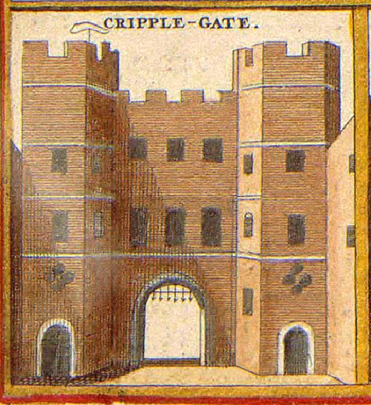
- Ward of Cripplegate's image is recorded as Cripplegate Hollar.PNG[5].
- Ward of Cripplegate's instance of is recorded as ward of the City of London[6].
- Cripplegate is named after Ward of Cripplegate[7].
- Ward of Cripplegate's postal code is recorded as EC3[8].
- Ward of Cripplegate's Commons category is recorded as Ward of Cripplegate[9].
- Ward of Cripplegate's OS grid reference is recorded as TQ327811[10].
- Ward of Cripplegate's coordinate location is recorded as {'lat': 51.519, 'lon': -0.094}[11].
- Ward of Cripplegate's Freebase ID is recorded as /m/021mwy[12].
- Ward of Cripplegate's GSS code is recorded as E05009302[13].
- Ward of Cripplegate's population is recorded as {'amount': '+2782'}[14].
- Ward of Cripplegate's TOID is recorded as 7000000000011103[15].
- Ward of Cripplegate's Vision of Britain place ID is recorded as 31088[16].
- Ward of Cripplegate's historic county is recorded as Middlesex[17].
- Ward of Cripplegate's SNARC ID is recorded as Babaevo[18].
Body
Geography
Ward of Cripplegate is in the country of United Kingdom[4]. It is located in City of London[3].
Physical Characteristics
Ward of Cripplegate's population is recorded as {'amount': '+2782'}[14].
Designation and Status
Ward of Cripplegate's instance of is recorded as ward of the City of London[6].
History and Context
Cripplegate is named after Ward of Cripplegate[7].
Why It Matters
Ward of Cripplegate draws 169 Wikipedia views per month (ward_of_the_city_of_london category, ranking #2 of 13).[2] It has Wikipedia articles in 9 language editions, a strong signal of global cultural recognition.[19] It is known by 4 alternative names across languages and contexts.[20]