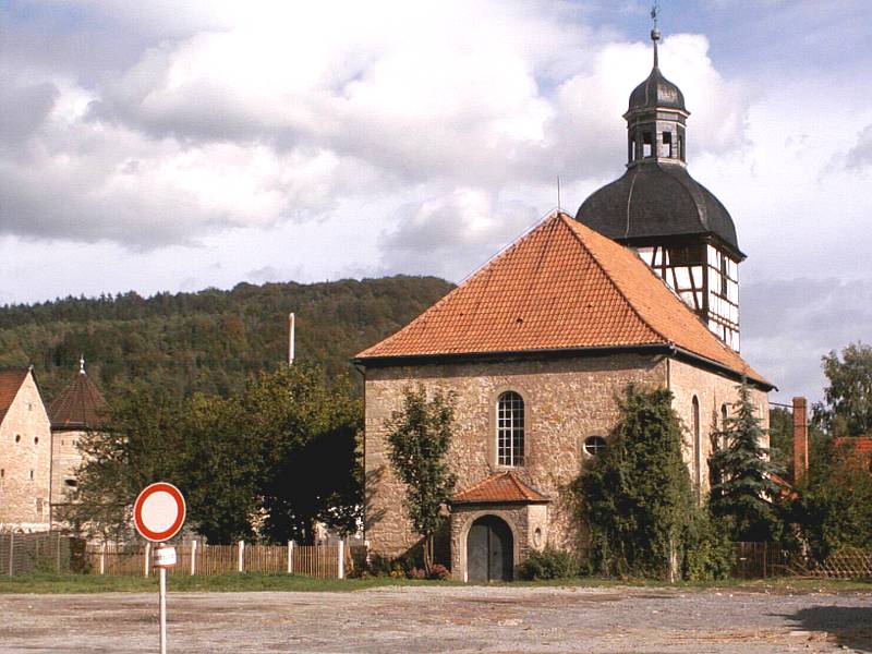
Untermaßfeld
0 sources
Untermaßfeld
Summary
Untermaßfeld is a municipality without town privileges in Germany[1]. Untermaßfeld has Wikipedia articles in 17 language editions, a strong signal of global cultural recognition.[2]
Key Facts
- Untermaßfeld was a member of Gemeinde- und Städtebund Thüringen[3].
- Untermaßfeld is located in Q16547586[4].
- Untermaßfeld is located in Schmalkalden-Meiningen[5].
- Untermaßfeld is in the country of Germany[6].
- Untermaßfeld's instance of is recorded as municipality without town privileges in Germany[7].
- Untermaßfeld's postal code is recorded as 98617[8].
- Untermaßfeld's Commons category is recorded as Untermaßfeld[9].
- Untermaßfeld's licence plate code is recorded as SM[10].
- Untermaßfeld's located in time zone is recorded as UTC+01:00[11].
- Untermaßfeld's located in time zone is recorded as UTC+02:00[12].
- Untermaßfeld's local dialing code is recorded as 036949[13].
- Untermaßfeld's coordinate location is recorded as {'lat': 50.531158, 'lon': 10.414981}[14].
- Untermaßfeld's official website is recorded as http://www.untermassfeld.de[15].
- Untermaßfeld's topic's main category is recorded as Category:Untermaßfeld[16].
- Untermaßfeld has a population of {'amount': '+1302'}[17].
- Untermaßfeld has a population of {'amount': '+1310'}[18].
- Untermaßfeld has a population of {'amount': '+1302'}[19].
- Untermaßfeld has a population of {'amount': '+1332'}[20].
- Untermaßfeld has a population of {'amount': '+1296'}[21].
- Untermaßfeld's described by source is recorded as Topographia Franconiae[22].
- Untermaßfeld sits at an elevation of {'unit': 'Q11573', 'amount': '+295'}[23].
- Untermaßfeld covers an area of {'unit': 'Q712226', 'amount': '+10.79'}[24].
- Untermaßfeld's hashtag is recorded as Untermaßfeld[25].
Body
Geography
Untermaßfeld is in the country of Germany[6]. Located in include Q16547586[4] and Schmalkalden-Meiningen[5], a rural district of Thuringia[26], in Germany[27].
Physical Characteristics
Untermaßfeld covers an area of {'unit': 'Q712226', 'amount': '+10.79'}[24]. Untermaßfeld sits at an elevation of {'unit': 'Q11573', 'amount': '+295'}[23]. Population counts include {'amount': '+1302'}[17], {'amount': '+1310'}[18], {'amount': '+1332'}[20], and {'amount': '+1296'}[21].
Designation and Status
Untermaßfeld's instance of is recorded as municipality without town privileges in Germany[7].
Why It Matters
Untermaßfeld has Wikipedia articles in 17 language editions, a strong signal of global cultural recognition.[2] Untermaßfeld is known by 5 alternative names across languages and contexts.[28]