Umrongso
town
Press Enter · cited answer in seconds
0 sources
Umrongso
Summary
Umrongso is a human settlement[1]. Umrongso ranks in the top 0.9% of human_settlement entities by monthly Wikipedia readership (55 views/month, #323 of 35,923).[2]
Key Facts
- Umrongso is located in Dima Hasao district[3].
- Umrongso is in the country of India[4].
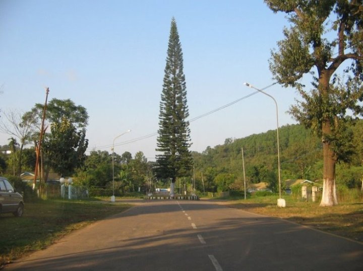
- Umrongso's image is recorded as NEEPCO main avenue.jpg[5].
- Umrongso's instance of is recorded as human settlement[6].
- Umrongso's postal code is recorded as 788931[7].
- Umrongso's Commons category is recorded as Umrangso[8].
- Umrongso's located in time zone is recorded as UTC+05:30[9].
- Umrongso's local dialing code is recorded as 3670[10].
- Umrongso's coordinate location is recorded as {'lat': 25.513569444444, 'lon': 92.737038888889}[11].
- Umrongso's Freebase ID is recorded as /m/0f6k1z[12].
- Umrongso's elevation above sea level is recorded as {'unit': 'Q11573', 'amount': '+640'}[13].
- Umrongso's area is recorded as {'unit': 'Q712226', 'amount': '+3.98'}[14].
Body
Geography
Umrongso is in the country of India[4]. Umrongso is located in Dima Hasao district[3].
Physical Characteristics
Umrongso's area is recorded as {'unit': 'Q712226', 'amount': '+3.98'}[14]. Umrongso's elevation above sea level is recorded as {'unit': 'Q11573', 'amount': '+640'}[13].
Designation and Status
Umrongso's instance of is recorded as human settlement[6].
Why It Matters
Umrongso ranks in the top 0.9% of human_settlement entities by monthly Wikipedia readership (55 views/month, #323 of 35,923).[2] Umrongso has Wikipedia articles in 9 language editions, a strong signal of global cultural recognition.[15]