Uhlstädt-Kirchhasel
0 sources
Uhlstädt-Kirchhasel
Summary
Uhlstädt-Kirchhasel is a municipality without town privileges in Germany[1]. Uhlstädt-Kirchhasel ranks in the top 0.97% of municipality_without_town_privileges_in_germany entities by monthly Wikipedia readership (9 views/month, #63 of 6,526).[2]
Key Facts
- Uhlstädt-Kirchhasel was a member of Mayors for Peace[3].
- Uhlstädt-Kirchhasel was a member of Gemeinde- und Städtebund Thüringen[4].
- Uhlstädt-Kirchhasel is located in Landkreis Saalfeld-Rudolstadt[5].
- Uhlstädt-Kirchhasel is in the country of Germany[6].
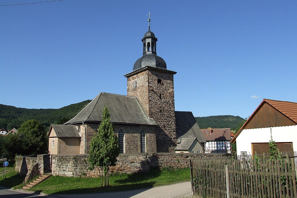
- Uhlstädt-Kirchhasel's image is recorded as Kirche Heilingen.JPG[7].
- Uhlstädt-Kirchhasel's instance of is recorded as municipality without town privileges in Germany[8].
- Uhlstädt-Kirchhasel's coat of arms image is recorded as Wappen Uhlstaedt-Kirchhasel.png[9].
- Uhlstädt-Kirchhasel's VIAF cluster ID is recorded as 234362514[10].
- Uhlstädt-Kirchhasel's GND ID is recorded as 7518258-0[11].
- Uhlstädt-Kirchhasel's locator map image is recorded as Uhlstädt-Kirchhasel in SLF.png[12].
- Uhlstädt-Kirchhasel's postal code is recorded as 07407[13].
- Uhlstädt-Kirchhasel's Commons category is recorded as Uhlstädt-Kirchhasel[14].
- Uhlstädt-Kirchhasel's licence plate code is recorded as SLF[15].
- Uhlstädt-Kirchhasel's OpenStreetMap relation ID is recorded as 1273351[16].
- Uhlstädt-Kirchhasel's located in time zone is recorded as UTC+01:00[17].
- Uhlstädt-Kirchhasel's located in time zone is recorded as UTC+02:00[18].
- Uhlstädt-Kirchhasel's German municipality key is recorded as 16073109[19].
- Uhlstädt-Kirchhasel's local dialing code is recorded as 03672[20].
- Uhlstädt-Kirchhasel's local dialing code is recorded as 036742[21].
- Uhlstädt-Kirchhasel's local dialing code is recorded as 036743[22].
- Uhlstädt-Kirchhasel's coordinate location is recorded as {'lat': 50.741944444444, 'lon': 11.465833333333}[23].
- Uhlstädt-Kirchhasel's Freebase ID is recorded as /m/03cdxj0[24].
- Uhlstädt-Kirchhasel's official website is recorded as https://www.uhlstaedt-kirchhasel.de/[25].
- Uhlstädt-Kirchhasel's topic's main category is recorded as Category:Uhlstädt-Kirchhasel[26].
- Uhlstädt-Kirchhasel's population is recorded as {'amount': '+5865'}[27].
Body
Geography
Uhlstädt-Kirchhasel is in the country of Germany[6]. Uhlstädt-Kirchhasel is located in Landkreis Saalfeld-Rudolstadt[5].
Physical Characteristics
Areas include {'unit': 'Q712226', 'amount': '+122.27'}[28] and {'unit': 'Q712226', 'amount': '+121.64'}[29]. Uhlstädt-Kirchhasel's elevation above sea level is recorded as {'unit': 'Q11573', 'amount': '+190'}[30]. Population counts include {'amount': '+5865'}[27], {'amount': '+5642'}[31], {'amount': '+5595'}[32], {'amount': '+5505'}[33], and {'amount': '+5514'}[34].
Designation and Status
Uhlstädt-Kirchhasel's instance of is recorded as municipality without town privileges in Germany[8].
Why It Matters
Uhlstädt-Kirchhasel ranks in the top 0.97% of municipality_without_town_privileges_in_germany entities by monthly Wikipedia readership (9 views/month, #63 of 6,526).[2] Uhlstädt-Kirchhasel has Wikipedia articles in 17 language editions, a strong signal of global cultural recognition.[35] Uhlstädt-Kirchhasel is known by 4 alternative names across languages and contexts.[36]