Tomaszów Mazowiecki
0 sources
Tomaszów Mazowiecki
Summary
Tomaszów Mazowiecki is an urban municipality of Poland[1]. It ranks in the top 6% of urban_municipality_of_poland entities by monthly Wikipedia readership (143 views/month).[2]
Key Facts
- Tomaszów Mazowiecki is located in Tomaszów Mazowiecki County[3].
- Tomaszów Mazowiecki is in the country of Poland[4].
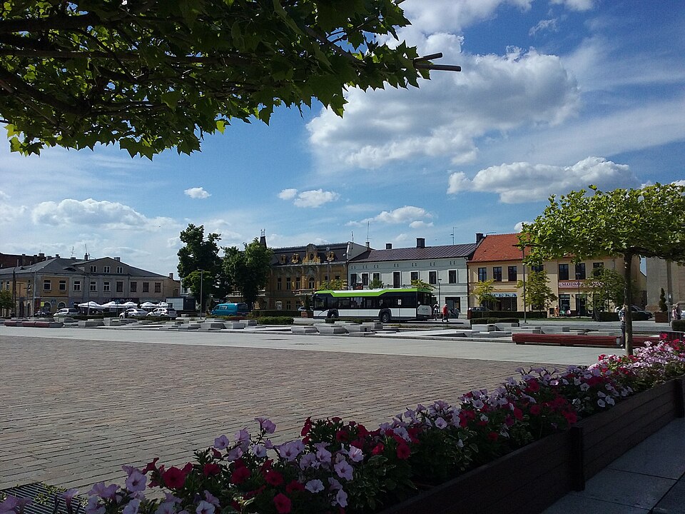
- Tomaszów Mazowiecki's image is recorded as Kościuszko Square in Tomaszów Mazowiecki, June 2020.jpg[5].
- Tomaszów Mazowiecki's continent is recorded as Europe[6].
- Tomaszów Mazowiecki's instance of is recorded as urban municipality of Poland[7].
- Tomaszów Mazowiecki's flag image is recorded as POL Tomaszów Mazowiecki flag.svg[8].
- Tomaszów Mazowiecki's coat of arms image is recorded as POL Tomaszów Mazowiecki COA.svg[9].
- Tomaszów Mazowiecki's twinned administrative body is recorded as Prato[10].
- Tomaszów Mazowiecki's twinned administrative body is recorded as Ivano-Frankivsk[11].
- Tomaszów Mazowiecki's twinned administrative body is recorded as Polonezköy[12].
- Tomaszów Mazowiecki's twinned administrative body is recorded as Mionica[13].
- Tomaszów Mazowiecki's twinned administrative body is recorded as Linares[14].
- Tomaszów Mazowiecki's twinned administrative body is recorded as Hîncești[15].
- Tomaszów Mazowiecki's VIAF cluster ID is recorded as 140188937[16].
- Tomaszów Mazowiecki's GND ID is recorded as 4339400-0[17].
- Tomaszów Mazowiecki's Library of Congress authority ID is recorded as n81084481[18].
- Tomaszów Mazowiecki's IdRef ID is recorded as 175867488[19].
- Tomaszów Mazowiecki's postal code is recorded as 97-200–97-208[20].
- Tomaszów Mazowiecki's Commons category is recorded as Tomaszów Mazowiecki[21].
- Tomaszów Mazowiecki's OpenStreetMap relation ID is recorded as 2921005[22].
- Tomaszów Mazowiecki's located in time zone is recorded as UTC+01:00[23].
- Tomaszów Mazowiecki's located in time zone is recorded as UTC+02:00[24].
- +1363-00-00T00:00:00Z marks the founding of Tomaszów Mazowiecki[25].
- Tomaszów Mazowiecki's coordinate location is recorded as {'lat': 51.531388888889, 'lon': 20.008888888889}[26].
- Tomaszów Mazowiecki's Freebase ID is recorded as /m/0228v0[27].
Body
Geography
Tomaszów Mazowiecki is in the country of Poland[4]. It is located in Tomaszów Mazowiecki County[3]. Its continent is recorded as Europe[6].
Physical Characteristics
Tomaszów Mazowiecki's area is recorded as {'unit': 'Q712226', 'amount': '+41.30'}[28]. Its elevation above sea level is recorded as {'unit': 'Q11573', 'amount': '+179'}[29]. Population counts include {'amount': '+59388'}[30] and {'amount': '+57600'}[31].
Designation and Status
Tomaszów Mazowiecki's instance of is recorded as urban municipality of Poland[7].
History and Context
+1363-00-00T00:00:00Z marks the founding of Tomaszów Mazowiecki[25].
Why It Matters
Tomaszów Mazowiecki ranks in the top 6% of urban_municipality_of_poland entities by monthly Wikipedia readership (143 views/month).[2] It has Wikipedia articles in 25 language editions, a strong signal of global cultural recognition.[32] It is known by 21 alternative names across languages and contexts.[33]