Tanimbar Islands
0 sources
Tanimbar Islands
Summary
Tanimbar Islands is an island group[1]. It draws 72 Wikipedia views per month (island_group category, ranking #112 of 712).[2]
Key Facts
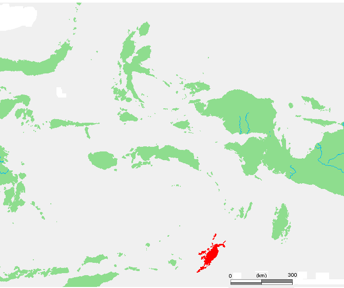
- Tanimbar Islands is located in Maluku[3].
- Tanimbar Islands is in the country of Indonesia[4].
- Tanimbar Islands is on the body of water Banda Sea[5].
- Tanimbar Islands's image is recorded as ID Tanimbar.PNG[6].
- Tanimbar Islands's image is recorded as A naturalist's wanderings in the Eastern Archipelago, a narrative of travel and exploration from 1878 to 1883 BHL46282469.jpg[7].
- Tanimbar Islands's instance of is recorded as island group[8].
- Tanimbar Islands's VIAF cluster ID is recorded as 315527884[9].
- Tanimbar Islands's Library of Congress authority ID is recorded as sh94006801[10].
- Tanimbar Islands's location is recorded as Banda Sea Islands moist deciduous forests[11].
- Tanimbar Islands's Commons category is recorded as Tanimbar Islands[12].
- Tanimbar Islands's located in time zone is recorded as UTC+09:00[13].
- Tanimbar Islands's coordinate location is recorded as {'lat': -7.5, 'lon': 131.5}[14].
- Tanimbar Islands's Freebase ID is recorded as /m/02pqnk[15].
- Tanimbar Islands's located in/on physical feature is recorded as Maluku Islands[16].
- Tanimbar Islands's topic's main category is recorded as Category:Tanimbar Islands[17].
- Tanimbar Islands's population is recorded as {'amount': '+105341'}[18].
- Tanimbar Islands's U.S. National Archives Identifier is recorded as 10037445[19].
- Tanimbar Islands's Gran Enciclopèdia Catalana ID is recorded as 0065153[20].
- Tanimbar Islands's described by source is recorded as Encyclopædia Britannica 11th edition[21].
- Tanimbar Islands's Encyclopædia Britannica Online ID is recorded as place/Tanimbar-Islands[22].
- Tanimbar Islands's GeoNames ID is recorded as 1625029[23].
- Tanimbar Islands's native label is recorded as {'lang': 'id', 'text': 'Kepulauan Tanimbar'}[24].
- Tanimbar Islands's elevation above sea level is recorded as {'unit': 'Q11573', 'amount': '+49'}[25].
- Tanimbar Islands's area is recorded as {'unit': 'Q712226', 'amount': '+5430'}[26].
- Tanimbar Islands's GNS Unique Feature ID is recorded as -2699386[27].
Body
Geography
Tanimbar Islands is in the country of Indonesia[4]. It is located in Maluku[3]. It is on the body of water Banda Sea[5].
Physical Characteristics
Tanimbar Islands's area is recorded as {'unit': 'Q712226', 'amount': '+5430'}[26]. Its elevation above sea level is recorded as {'unit': 'Q11573', 'amount': '+49'}[25]. Its population is recorded as {'amount': '+105341'}[18].
Designation and Status
Tanimbar Islands's instance of is recorded as island group[8].
Why It Matters
Tanimbar Islands draws 72 Wikipedia views per month (island_group category, ranking #112 of 712).[2] It has Wikipedia articles in 18 language editions, a strong signal of global cultural recognition.[28] It is known by 29 alternative names across languages and contexts.[29]