Tahual
mountain in Guatemala
Press Enter · cited answer in seconds
0 sources
Tahual
Summary
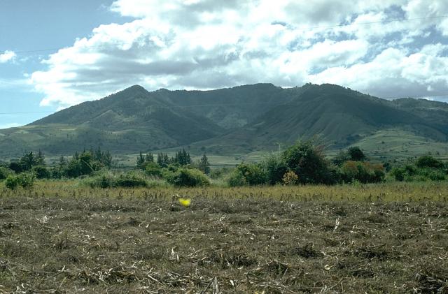
Tahual is a volcano[1]. Tahual draws 8 Wikipedia views per month (volcano category, ranking #71 of 256).[2]
Key Facts
- Tahual is located in Jalapa Department[3].
- Tahual is in the country of Guatemala[4].
- Tahual's image is recorded as Tahual.jpg[5].
- Tahual's continent is recorded as North America[6].
- Tahual's continent is recorded as Americas[7].
- Tahual's instance of is recorded as volcano[8].
- Tahual's coordinate location is recorded as {'lat': 14.43, 'lon': -89.9}[9].
- Tahual's Freebase ID is recorded as /m/0gwz2p[10].
- Tahual's GeoNames ID is recorded as 3588595[11].
- Tahual's Global Volcanism Program ID is recorded as 342141[12].
- Tahual's elevation above sea level is recorded as {'unit': 'Q11573', 'amount': '+1716'}[13].
- Tahual's GNS Unique Feature ID is recorded as -1142792[14].
- Tahual's mountain range is recorded as Sierra Madre de Chiapas[15].
- Tahual's VOGRIPA ID is recorded as 2437[16].
- Tahual's Wolfram Language entity code is recorded as Entity["Volcano", "Tahual"][17].
Why It Matters
Tahual draws 8 Wikipedia views per month (volcano category, ranking #71 of 256).[2] Tahual has Wikipedia articles in 8 language editions, a strong signal of global cultural recognition.[18]