Solikamsk
0 sources
Solikamsk
Summary
Solikamsk is an administrative divisions of Russia[1]. Solikamsk ranks in the top 9% of administrative_divisions_of_russia entities by monthly Wikipedia readership (39 views/month).[2]
Key Facts
- Solikamsk is located in Solikamsky Urban Okrug[3].
- Solikamsk is in the country of Russia[4].
- Solikamsk is in the country of Russian Empire[5].
- Solikamsk is in the country of Tsardom of Russia[6].
- Solikamsk is on the body of water Kama[7].
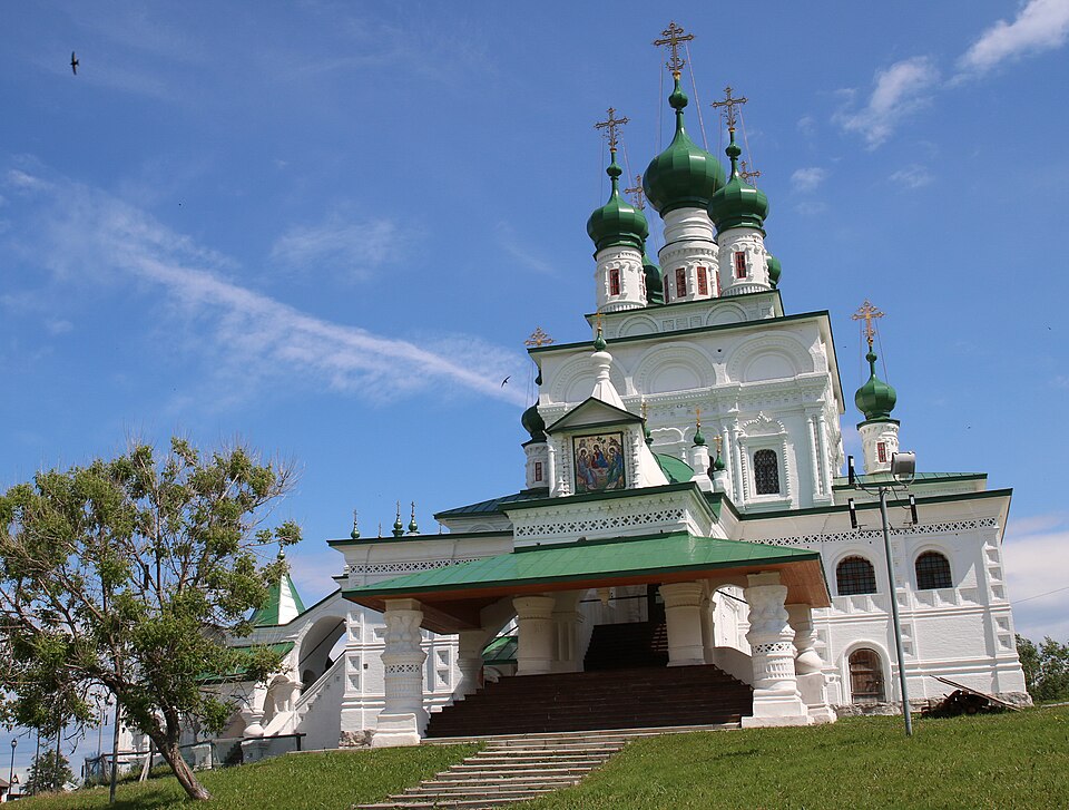
- Solikamsk's image is recorded as Троицкий собор (Соликамск).jpg[8].
- Solikamsk's instance of is recorded as administrative divisions of Russia[9].
- Solikamsk's instance of is recorded as city or town[10].
- Solikamsk's flag image is recorded as Flag of Solikamsk (Perm krai).png[11].
- Solikamsk's coat of arms image is recorded as Coat of Arms of Solikamsk (Perm krai).jpg[12].
- table salt is named after Solikamsk[13].
- Kama is named after Solikamsk[14].
- Solikamsk's flag is recorded as flag of Solikamsk[15].
- Solikamsk's twinned administrative body is recorded as Totma[16].
- Solikamsk's VIAF cluster ID is recorded as 242764736[17].
- Solikamsk's VIAF cluster ID is recorded as 171910838[18].
- Solikamsk's GND ID is recorded as 4839496-8[19].
- Solikamsk's Bibliothèque nationale de France ID is recorded as 16514837k[20].
- Solikamsk's postal code is recorded as 618540–618556[21].
- Solikamsk's Commons category is recorded as Solikamsk[22].
- Solikamsk's OpenStreetMap relation ID is recorded as 3437172[23].
- Solikamsk's located in time zone is recorded as UTC+05:00[24].
- Solikamsk's local dialing code is recorded as 34253[25].
- +1430-00-00T00:00:00Z marks the founding of Solikamsk[26].
- Solikamsk's coordinate location is recorded as {'lat': 59.633333333333, 'lon': 56.766666666667}[27].
Body
Geography
Country listings include Russia[4], a sovereign state[28], in Russia[29], founded in 1991[30]; Russian Empire[5], an empire[31], in Russian Empire[32], founded in 1721[33]; and Tsardom of Russia[6], a sovereign state[34], in Tsardom of Russia[35], founded in 1547[36]. Solikamsk is located in Solikamsky Urban Okrug[3]. Solikamsk is on the body of water Kama[7].
Physical Characteristics
Population counts include {'amount': '+250'}[37], {'amount': '+351'}[38], {'amount': '+989'}[39], {'amount': '+1000'}[40], {'amount': '+2567'}[41], and {'amount': '+5100'}[42].
Designation and Status
Recorded instance of include administrative divisions of Russia[9] and city or town[10].
History and Context
+1430-00-00T00:00:00Z marks the founding of Solikamsk[26]. Things named after include table salt[13], an ingredient[43] and Kama[14], a river[44], in Russia[45].
Cultural Significance
Things named for Solikamsk include 11542 Solikamsk[46], an asteroid[47].
Why It Matters
Solikamsk ranks in the top 9% of administrative_divisions_of_russia entities by monthly Wikipedia readership (39 views/month).[2] Solikamsk has Wikipedia articles in 23 language editions, a strong signal of global cultural recognition.[48]
Entities named for Solikamsk include 11542 Solikamsk[46], an asteroid[47].