Schernfeld
0 sources
Schernfeld
Summary
Schernfeld is a municipality without town privileges in Germany[1]. Schernfeld ranks in the top 1% of municipality_without_town_privileges_in_germany entities by monthly Wikipedia readership (2 views/month, #65 of 6,526).[2]
Key Facts
- Schernfeld is located in Eichstätt district[3].
- Schernfeld is in the country of Germany[4].
- Schernfeld's head of government is recorded as Ludwig Mayinger[5].
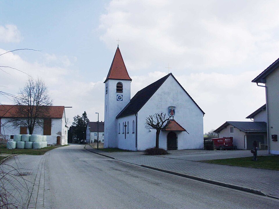
- Schernfeld's image is recorded as Langensallach 2012-03-20.JPG[6].
- Schernfeld's instance of is recorded as municipality without town privileges in Germany[7].
- Schernfeld's shares border with is recorded as Weißenburg in Bayern[8].
- Schernfeld's shares border with is recorded as Pollenfeld[9].
- Schernfeld's shares border with is recorded as Q252772[10].
- Schernfeld's shares border with is recorded as Dollnstein[11].
- Schernfeld's shares border with is recorded as Q512114[12].
- Schernfeld's shares border with is recorded as Q572949[13].
- Schernfeld's shares border with is recorded as Q503763[14].
- Schernfeld's shares border with is recorded as Raitenbuch[15].
- Schernfeld's coat of arms image is recorded as DEU Schernfeld COA.svg[16].
- Schernfeld's VIAF cluster ID is recorded as 246262433[17].
- Schernfeld's GND ID is recorded as 4363268-3[18].
- Schernfeld's locator map image is recorded as Schernfeld in EI.svg[19].
- Schernfeld's postal code is recorded as 85132[20].
- Schernfeld's part of is recorded as Verwaltungsgemeinschaft Eichstätt[21].
- Schernfeld's part of is recorded as Stimmkreis Eichstätt[22].
- Schernfeld's Commons category is recorded as Schernfeld[23].
- Schernfeld's licence plate code is recorded as EI[24].
- Schernfeld's OpenStreetMap relation ID is recorded as 943541[25].
- Schernfeld's located in time zone is recorded as UTC+01:00[26].
- Schernfeld's located in time zone is recorded as UTC+02:00[27].
Body
Geography
Schernfeld is in the country of Germany[4]. Schernfeld is located in Eichstätt district[3]. Part of include Verwaltungsgemeinschaft Eichstätt[21], an administrative community of Bavaria[28], in Germany[29] and Stimmkreis Eichstätt[22], a Stimmkreis[30], in Germany[31].
Physical Characteristics
Areas include {'unit': 'Q712226', 'amount': '+52.22'}[32] and {'unit': 'Q712226', 'amount': '+52.25'}[33]. Schernfeld's elevation above sea level is recorded as {'unit': 'Q11573', 'amount': '+548'}[34]. Population counts include {'amount': '+1981'}[35], {'amount': '+3039'}[36], {'amount': '+3073'}[37], {'amount': '+3087'}[38], {'amount': '+3122'}[39], and {'amount': '+3155'}[40].
Designation and Status
Schernfeld's instance of is recorded as municipality without town privileges in Germany[7].
Why It Matters
Schernfeld ranks in the top 1% of municipality_without_town_privileges_in_germany entities by monthly Wikipedia readership (2 views/month, #65 of 6,526).[2] Schernfeld has Wikipedia articles in 19 language editions, a strong signal of global cultural recognition.[41]