Sør-Odal Municipality
municipality in Innlandet, Norway
Press Enter · cited answer in seconds
0 sources
Sør-Odal Municipality
Summary
Sør-Odal Municipality is a municipality of Norway[1]. It draws 9 Wikipedia views per month (municipality_of_norway category, ranking #64 of 360).[2]
Key Facts
- Sør-Odal Municipality is located in Innlandet[3].
- Sør-Odal Municipality is in the country of Norway[4].
- Sør-Odal Municipality's head of government is recorded as Knut Hvithammer[5].
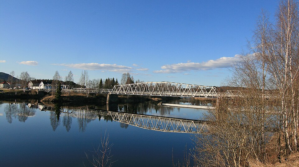
- Sør-Odal Municipality's image is recorded as Skarnes bru.jpg[6].
- Sør-Odal Municipality's instance of is recorded as municipality of Norway[7].
- Sør-Odal Municipality's capital is recorded as Skarnes[8].
- Sør-Odal Municipality's flag image is recorded as Flag of Sør-Odal.gif[9].
- Sør-Odal Municipality's shares border with is recorded as Nord-Odal Municipality[10].
- Sør-Odal Municipality's shares border with is recorded as Grue Municipality[11].
- Sør-Odal Municipality's shares border with is recorded as Kongsvinger Municipality[12].
- Sør-Odal Municipality's shares border with is recorded as Eidskog Municipality[13].
- Sør-Odal Municipality's shares border with is recorded as Nes Municipality[14].
- Sør-Odal Municipality's main regulatory text is recorded as Act relating to municipalities and county authorities[15].
- Sør-Odal Municipality's coat of arms image is recorded as Sør-Odal komm.svg[16].
- Sør-Odal Municipality's VIAF cluster ID is recorded as 198148996133259752914[17].
- Sør-Odal Municipality's GND ID is recorded as 1154524493[18].
- Sør-Odal Municipality's locator map image is recorded as NO 0419 Sør-Odal.svg[19].
- Sør-Odal Municipality's locator map image is recorded as NO 3415 Sør-Odal.svg[20].
- Sør-Odal Municipality's Library of Congress authority ID is recorded as n82037633[21].
- Sør-Odal Municipality's Commons category is recorded as Sør-Odal[22].
- Sør-Odal Municipality's OpenStreetMap relation ID is recorded as 412535[23].
- Sør-Odal Municipality's located in time zone is recorded as UTC+01:00[24].
- +1838-00-00T00:00:00Z marks the founding of Sør-Odal Municipality[25].
- Sør-Odal Municipality's coordinate location is recorded as {'lat': 60.236666666667, 'lon': 11.745555555556}[26].
- Sør-Odal Municipality's Freebase ID is recorded as /m/0185ss[27].
Body
Founding
+1838-00-00T00:00:00Z marks the founding of Sør-Odal Municipality[25].
Why It Matters
Sør-Odal Municipality draws 9 Wikipedia views per month (municipality_of_norway category, ranking #64 of 360).[2] It has Wikipedia articles in 18 language editions, a strong signal of global cultural recognition.[28] It is known by 8 alternative names across languages and contexts.[29]