Rustington
village in West Sussex, England, UK
Press Enter · cited answer in seconds
0 sources
Rustington
Summary
Rustington is a village[1]. Rustington ranks in the top 0.39% of village entities by monthly Wikipedia readership (45 views/month, #198 of 50,837).[2]
Key Facts
- Rustington is located in Arun[3].
- Rustington is in the country of United Kingdom[4].
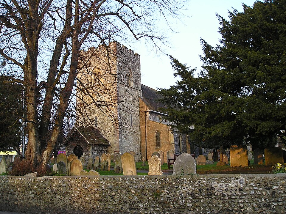
- Rustington's image is recorded as Rustington Church3.JPG[5].
- Rustington's instance of is recorded as village[6].
- Rustington's instance of is recorded as civil parish[7].
- Rustington's twinned administrative body is recorded as Künzell[8].
- Rustington's twinned administrative body is recorded as Los Altos[9].
- Rustington's VIAF cluster ID is recorded as 244661667[10].
- Rustington's GND ID is recorded as 4277110-9[11].
- Rustington's Commons category is recorded as Rustington[12].
- Rustington's OpenStreetMap relation ID is recorded as 2958817[13].
- Rustington's said to be the same as is recorded as Rustington[14].
- Rustington's local dialing code is recorded as 01903[15].
- Rustington's OS grid reference is recorded as TQ054022[16].
- Rustington's coordinate location is recorded as {'lat': 50.810188888889, 'lon': -0.50521111111111}[17].
- Rustington's Freebase ID is recorded as /m/06l3q9[18].
- Rustington's authority is recorded as Rustington Parish Council[19].
- Rustington's GSS code is recorded as E04009874[20].
- Rustington's official website is recorded as http://www.rustingtonpc.org/[21].
- Rustington's MusicBrainz area ID is recorded as c87d22ba-e242-479a-82f0-ed79c583d13a[22].
- Rustington's population is recorded as {'amount': '+14255'}[23].
- Rustington's population is recorded as {'amount': '+13210'}[24].
- Rustington's population is recorded as {'amount': '+13883'}[25].
- Rustington's WOEID is recorded as 33810[26].
- Rustington's GeoNames ID is recorded as 2638930[27].
Body
Geography
Rustington is in the country of United Kingdom[4]. Rustington is located in Arun[3].
Physical Characteristics
Rustington's area is recorded as {'unit': 'Q712226', 'amount': '+3.72'}[28]. Population counts include {'amount': '+14255'}[23], {'amount': '+13210'}[24], and {'amount': '+13883'}[25].
Designation and Status
Recorded instance of include village[6] and civil parish[7].
Why It Matters
Rustington ranks in the top 0.39% of village entities by monthly Wikipedia readership (45 views/month, #198 of 50,837).[2] Rustington has Wikipedia articles in 7 language editions, a strong signal of global cultural recognition.[29]