Runnemede
0 sources
Runnemede
Summary
Runnemede is a borough of New Jersey[1]. Runnemede draws 17 Wikipedia views per month (borough_of_new_jersey category, ranking #104 of 255).[2]
Key Facts
- Runnemede is located in Camden County[3].
- Runnemede is in the country of United States[4].
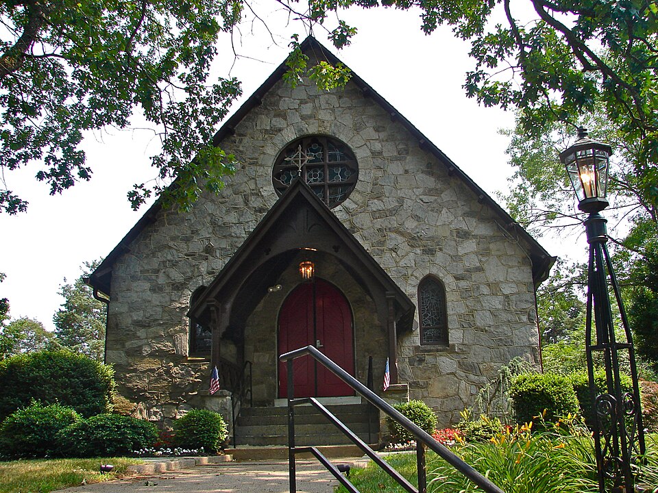
- Runnemede's image is recorded as St John Evangel NJ.jpg[5].
- Runnemede's instance of is recorded as borough of New Jersey[6].
- Runnemede's shares border with is recorded as Bellmawr[7].
- Runnemede's shares border with is recorded as Barrington[8].
- Runnemede's shares border with is recorded as Magnolia[9].
- Runnemede's shares border with is recorded as Gloucester Township[10].
- Runnemede's shares border with is recorded as Deptford Township[11].
- Runnemede's VIAF cluster ID is recorded as 124334739[12].
- Runnemede's locator map image is recorded as Camden County New Jersey Incorporated and Unincorporated areas Runnemede Highlighted.svg[13].
- Runnemede's Library of Congress authority ID is recorded as n80099549[14].
- Runnemede's postal code is recorded as 08078[15].
- Runnemede's Commons category is recorded as Runnemede, New Jersey[16].
- Runnemede's OpenStreetMap relation ID is recorded as 170702[17].
- Runnemede's located in time zone is recorded as Eastern Time Zone[18].
- +1626-00-00T00:00:00Z marks the founding of Runnemede[19].
- Runnemede's GNIS Feature ID is recorded as 885382[20].
- Runnemede's GNIS Feature ID is recorded as 879861[21].
- Runnemede's coordinate location is recorded as {'lat': 39.8517, 'lon': -75.0748}[22].
- Runnemede's Freebase ID is recorded as /m/0xlyd[23].
- Runnemede's FIPS 55-3 is recorded as 34-65160[24].
- Runnemede's official website is recorded as https://runnemedenj.org/[25].
- Runnemede's topic's main category is recorded as Category:Runnemede, New Jersey[26].
- Runnemede's Curlie ID is recorded as Regional/North_America/United_States/New_Jersey/Localities/R/Runnemede/[27].
Body
Geography
Runnemede is in the country of United States[4]. Runnemede is located in Camden County[3].
Physical Characteristics
Areas include {'unit': 'Q232291', 'amount': '+2.115'}[28] and {'unit': 'Q712226', 'amount': '+5.47725'}[29]. Runnemede's elevation above sea level is recorded as {'unit': 'Q3710', 'amount': '+69'}[30]. Population counts include {'amount': '+8468'}[31] and {'amount': '+8324'}[32].
Designation and Status
Runnemede's instance of is recorded as borough of New Jersey[6].
History and Context
+1626-00-00T00:00:00Z marks the founding of Runnemede[19].
Why It Matters
Runnemede draws 17 Wikipedia views per month (borough_of_new_jersey category, ranking #104 of 255).[2] Runnemede has Wikipedia articles in 13 language editions, a strong signal of global cultural recognition.[33] Runnemede is known by 4 alternative names across languages and contexts.[34]