Perach
0 sources
Perach
Summary
Perach is a municipality without town privileges in Germany[1]. Perach has Wikipedia articles in 19 language editions, a strong signal of global cultural recognition.[2]
Key Facts
- Perach is located in Altötting county[3].
- Perach is in the country of Germany[4].
- Perach is on the body of water Inn[5].
- Perach's head of government is recorded as Georg Eder[6].
- Perach's instance of is recorded as municipality without town privileges in Germany[7].
- Perach's postal code is recorded as 84567[8].
- Perach is part of Verwaltungsgemeinschaft Reischach[9].
- Perach is part of Stimmkreis Altötting[10].
- Perach's Commons category is recorded as Perach[11].
- Perach's licence plate code is recorded as AÖ[12].
- Perach's licence plate code is recorded as LF[13].
- Perach's located in time zone is recorded as UTC+01:00[14].
- Perach's located in time zone is recorded as UTC+02:00[15].
- Perach's local dialing code is recorded as 08670[16].
- Perach's coordinate location is recorded as {'lat': 48.266666666667, 'lon': 12.766666666667}[17].
- Perach's official website is recorded as http://www.perach.de[18].
- Perach's topic's main category is recorded as Category:Perach[19].
- Perach has a population of {'amount': '+1085'}[20].
- Perach has a population of {'amount': '+1091'}[21].
- Perach has a population of {'amount': '+1111'}[22].
- Perach has a population of {'amount': '+810'}[23].
- Perach has a population of {'amount': '+689'}[24].
- Perach has a population of {'amount': '+1195'}[25].
- Perach has a population of {'amount': '+1221'}[26].
- Perach has a population of {'amount': '+1228'}[27].
Body
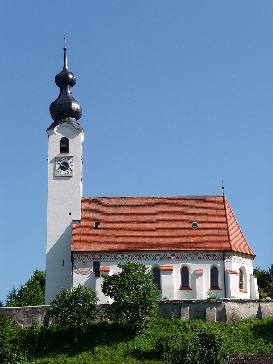
Geography
Perach is in the country of Germany[4]. Perach is located in Altötting county[3]. Perach is on the body of water Inn[5]. Part of include Verwaltungsgemeinschaft Reischach[9], an administrative community of Bavaria[28], in Germany[29] and Stimmkreis Altötting[10], a Stimmkreis[30], in Germany[31].
Physical Characteristics
Perach covers an area of {'unit': 'Q712226', 'amount': '+14.13'}[32]. Perach sits at an elevation of {'unit': 'Q11573', 'amount': '+380'}[33]. Population counts include {'amount': '+1085'}[20], {'amount': '+1091'}[21], {'amount': '+1111'}[22], {'amount': '+810'}[23], {'amount': '+689'}[24], and {'amount': '+1195'}[25].
Designation and Status
Perach's instance of is recorded as municipality without town privileges in Germany[7].
Why It Matters
Perach has Wikipedia articles in 19 language editions, a strong signal of global cultural recognition.[2]