Nirmsdorf
municipality of Germany
Press Enter · cited answer in seconds
0 sources
Nirmsdorf
Summary
Nirmsdorf is an Ortsteil[1]. Nirmsdorf has Wikipedia articles in 12 language editions, a strong signal of global cultural recognition.[2]
Key Facts
- Nirmsdorf is located in Ilmtal-Weinstraße[3].
- Nirmsdorf is in the country of Germany[4].
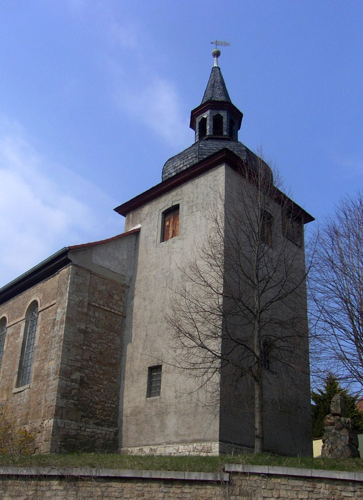
- Nirmsdorf's image is recorded as Nirmsdorf kirche.jpg[5].
- Nirmsdorf's instance of is recorded as Ortsteil[6].
- Nirmsdorf's VIAF cluster ID is recorded as 311189930[7].
- Nirmsdorf's GND ID is recorded as 1059493268[8].
- Nirmsdorf's locator map image is recorded as IS Nirms.png[9].
- Nirmsdorf's postal code is recorded as 99510[10].
- Nirmsdorf's Commons category is recorded as Nirmsdorf[11].
- Nirmsdorf's licence plate code is recorded as AP[12].
- Nirmsdorf's OpenStreetMap relation ID is recorded as 2856458[13].
- Nirmsdorf's located in time zone is recorded as UTC+01:00[14].
- Nirmsdorf's located in time zone is recorded as UTC+02:00[15].
- Nirmsdorf's local dialing code is recorded as 036463[16].
- Nirmsdorf's coordinate location is recorded as {'lat': 51.094444444444, 'lon': 11.470277777778}[17].
- Nirmsdorf's Freebase ID is recorded as /m/02rwcvh[18].
- Nirmsdorf's official website is recorded as https://www.ilmtal-weinstrasse.de/verzeichnis/objekt.php?mandat=129374[19].
- Nirmsdorf's population is recorded as {'amount': '+88'}[20].
- Nirmsdorf's replaced by is recorded as Ilmtal-Weinstraße[21].
- Nirmsdorf's official name is recorded as {'lang': 'de', 'text': 'Nirmsdorf'}[22].
- Nirmsdorf's GeoNames ID is recorded as 6550270[23].
- Nirmsdorf's native label is recorded as {'lang': 'de', 'text': 'Nirmsdorf'}[24].
- Nirmsdorf's elevation above sea level is recorded as {'unit': 'Q11573', 'amount': '+200'}[25].
- Nirmsdorf's area is recorded as {'unit': 'Q712226', 'amount': '+2.72'}[26].
- Nirmsdorf's Historical Gazetteer is recorded as NIRORFJO51RC[27].
Body
Geography
Nirmsdorf is in the country of Germany[4]. Nirmsdorf is located in Ilmtal-Weinstraße[3].
Physical Characteristics
Nirmsdorf's area is recorded as {'unit': 'Q712226', 'amount': '+2.72'}[26]. Nirmsdorf's elevation above sea level is recorded as {'unit': 'Q11573', 'amount': '+200'}[25]. Nirmsdorf's population is recorded as {'amount': '+88'}[20].
Designation and Status
Nirmsdorf's instance of is recorded as Ortsteil[6].
Why It Matters
Nirmsdorf has Wikipedia articles in 12 language editions, a strong signal of global cultural recognition.[2]