Napier Field
0 sources
Napier Field
Summary
Napier Field is a human settlement[1]. It ranks in the top 0.97% of human_settlement entities by monthly Wikipedia readership (9 views/month, #347 of 35,923).[2]
Key Facts
- Napier Field is located in Dale County[3].
- Napier Field is in the country of United States[4].
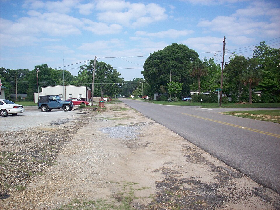
- Napier Field's image is recorded as Napier Field Alabama 02.jpg[5].
- Napier Field's instance of is recorded as human settlement[6].
- Napier Field's locator map image is recorded as Dale County Alabama Incorporated and Unincorporated areas Napier Field Highlighted.svg[7].
- Napier Field's Commons category is recorded as Napier Field, Alabama[8].
- Napier Field's OpenStreetMap relation ID is recorded as 16138483[9].
- Napier Field's GNIS Feature ID is recorded as 123635[10].
- Napier Field's GNIS Feature ID is recorded as 2406224[11].
- Napier Field's coordinate location is recorded as {'lat': 31.315265, 'lon': -85.45434}[12].
- Napier Field's Freebase ID is recorded as /m/0q6nj[13].
- Napier Field's FIPS 55-3 is recorded as 01-53256[14].
- Napier Field's population is recorded as {'amount': '+404'}[15].
- Napier Field's population is recorded as {'amount': '+354'}[16].
- Napier Field's population is recorded as {'amount': '+409'}[17].
- Napier Field's official name is recorded as {'lang': 'en', 'text': 'Napier Field'}[18].
- Napier Field's number of households is recorded as {'amount': '+197'}[19].
- Napier Field's GeoNames ID is recorded as 4079080[20].
- Napier Field's elevation above sea level is recorded as {'unit': 'Q11573', 'amount': '+114'}[21].
- Napier Field's area is recorded as {'unit': 'Q712226', 'amount': '+0.662501'}[22].
- Napier Field's area is recorded as {'unit': 'Q712226', 'amount': '+0.67086'}[23].
- Napier Field's water as percent of area is recorded as {'unit': 'Q11229', 'amount': '+0'}[24].
- Napier Field's mean age is recorded as {'amount': '+33.7'}[25].
- Napier Field's Who's on First ID is recorded as 85899481[26].
- Napier Field's OpenWeatherMap city ID is recorded as 4079080[27].
Body
Geography
Napier Field is in the country of United States[4]. It is located in Dale County[3].
Physical Characteristics
Areas include {'unit': 'Q712226', 'amount': '+0.662501'}[22] and {'unit': 'Q712226', 'amount': '+0.67086'}[23]. Napier Field's elevation above sea level is recorded as {'unit': 'Q11573', 'amount': '+114'}[21]. Population counts include {'amount': '+404'}[15], {'amount': '+354'}[16], and {'amount': '+409'}[17].
Designation and Status
Napier Field's instance of is recorded as human settlement[6].
Why It Matters
Napier Field ranks in the top 0.97% of human_settlement entities by monthly Wikipedia readership (9 views/month, #347 of 35,923).[2] It has Wikipedia articles in 16 language editions, a strong signal of global cultural recognition.[28] It is known by 4 alternative names across languages and contexts.[29]