Missaukee County
0 sources
Missaukee County
Summary
Missaukee County is a county of Michigan[1]. It draws 84 Wikipedia views per month (county_of_michigan category, ranking #36 of 85).[2]
Key Facts
- Missaukee County is located in Michigan[3].
- Missaukee County is in the country of United States[4].
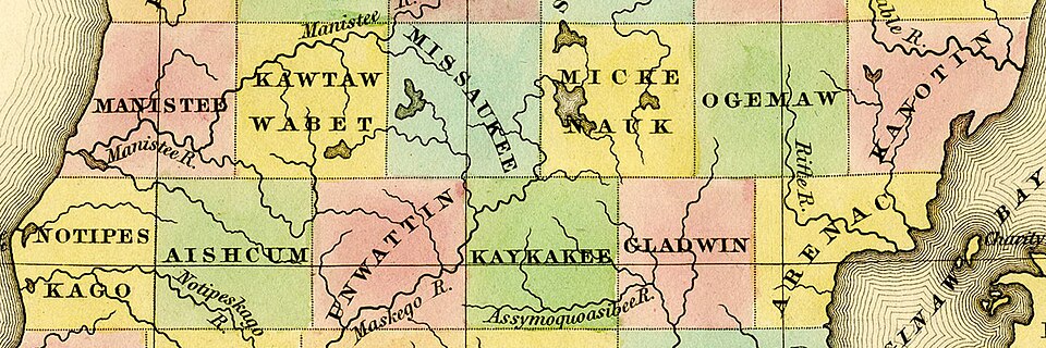
- Missaukee County's image is recorded as 1842 Manistee Kawtawwabet Missaukee Mickenauk Ogemaw Kanotin Notipeskago Aishcum Unwattin Kaykakee Gladwin Arenac counties Michigan.jpg[5].
- Missaukee County's image is recorded as Missaukee County Courthouse (Michigan).jpg[6].
- Missaukee County's instance of is recorded as county of Michigan[7].
- Missaukee County's capital is recorded as Lake City[8].
- Missaukee County's shares border with is recorded as Kalkaska County[9].
- Missaukee County's shares border with is recorded as Osceola County[10].
- Missaukee County's shares border with is recorded as Crawford County[11].
- Missaukee County's shares border with is recorded as Roscommon County[12].
- Missaukee County's shares border with is recorded as Clare County[13].
- Missaukee County's shares border with is recorded as Wexford County[14].
- Missaukee County's shares border with is recorded as Grand Traverse County[15].
- Missaukee County's contains the administrative territorial entity is recorded as Lake City[16].
- Missaukee County's VIAF cluster ID is recorded as 140657477[17].
- Missaukee County's locator map image is recorded as Map of Michigan highlighting Missaukee County.svg[18].
- Missaukee County's Library of Congress authority ID is recorded as n81131970[19].
- Missaukee County's Commons category is recorded as Missaukee County, Michigan[20].
- Missaukee County's OpenStreetMap relation ID is recorded as 1907325[21].
- +1871-00-00T00:00:00Z marks the founding of Missaukee County[22].
- Missaukee County's GNIS Feature ID is recorded as 1622999[23].
- Missaukee County's coordinate location is recorded as {'lat': 44.34, 'lon': -85.1}[24].
- Missaukee County's Freebase ID is recorded as /m/0nj9m[25].
- Missaukee County's official website is recorded as http://www.missaukee.org[26].
- Missaukee County's FIPS 6-4 ID is recorded as 26113[27].
Body
Geography
Missaukee County is in the country of United States[4]. It is located in Michigan[3].
Physical Characteristics
Missaukee County's area is recorded as {'unit': 'Q712226', 'amount': '+1486'}[28]. Population counts include {'amount': '+14849'}[29], {'amount': '+14816'}[30], {'amount': '+14935'}[31], {'amount': '+14999'}[32], {'amount': '+15051'}[33], and {'amount': '+14903'}[34].
Designation and Status
Missaukee County's instance of is recorded as county of Michigan[7].
History and Context
+1871-00-00T00:00:00Z marks the founding of Missaukee County[22].
Why It Matters
Missaukee County draws 84 Wikipedia views per month (county_of_michigan category, ranking #36 of 85).[2] It has Wikipedia articles in 23 language editions, a strong signal of global cultural recognition.[35] It is known by 11 alternative names across languages and contexts.[36]