McPherson County
0 sources
McPherson County
Summary
McPherson County is a county of Nebraska[1]. It ranks in the top 5% of county_of_nebraska entities by monthly Wikipedia readership (82 views/month).[2]
Key Facts
- McPherson County is located in Nebraska[3].
- McPherson County is in the country of United States[4].
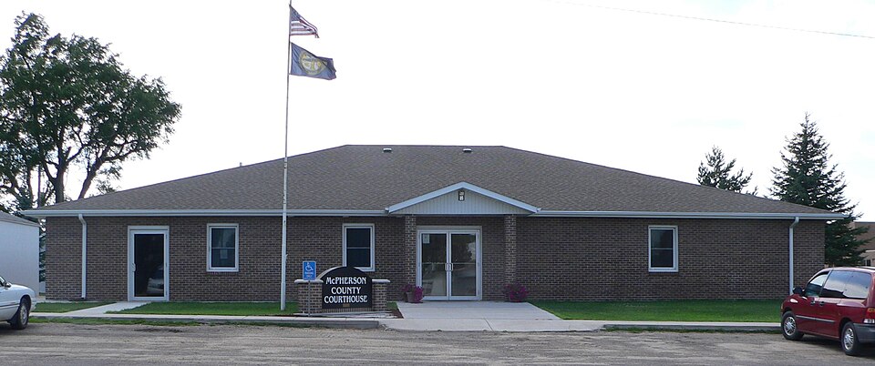
- McPherson County's image is recorded as McPherson County, Nebraska courthouse from E.JPG[5].
- McPherson County's instance of is recorded as county of Nebraska[6].
- McPherson County's capital is recorded as Tryon[7].
- McPherson County's shares border with is recorded as Hooker County[8].
- McPherson County's shares border with is recorded as Thomas County[9].
- McPherson County's shares border with is recorded as Logan County[10].
- McPherson County's shares border with is recorded as Lincoln County[11].
- McPherson County's shares border with is recorded as Keith County[12].
- McPherson County's shares border with is recorded as Arthur County[13].
- James B. McPherson is named after McPherson County[14].
- McPherson County's contains the administrative territorial entity is recorded as Tryon[15].
- McPherson County's VIAF cluster ID is recorded as 153629941[16].
- McPherson County's locator map image is recorded as Map of Nebraska highlighting McPherson County.svg[17].
- McPherson County's Commons category is recorded as McPherson County, Nebraska[18].
- McPherson County's OpenStreetMap relation ID is recorded as 1425394[19].
- +1887-00-00T00:00:00Z marks the founding of McPherson County[20].
- McPherson County's GNIS Feature ID is recorded as 835881[21].
- McPherson County's coordinate location is recorded as {'lat': 41.57, 'lon': -101.06}[22].
- McPherson County's Freebase ID is recorded as /m/0n75k[23].
- McPherson County's official website is recorded as http://www.mcphersoncounty.ne.gov/[24].
- McPherson County's FIPS 6-4 ID is recorded as 31117[25].
- McPherson County's topic's main category is recorded as Category:McPherson County, Nebraska[26].
- McPherson County's population is recorded as {'amount': '+539'}[27].
Body
Geography
McPherson County is in the country of United States[4]. It is located in Nebraska[3].
Physical Characteristics
McPherson County's area is recorded as {'unit': 'Q712226', 'amount': '+2227'}[28]. Population counts include {'amount': '+539'}[27], {'amount': '+538'}[29], {'amount': '+543'}[30], {'amount': '+504'}[31], {'amount': '+526'}[32], and {'amount': '+475'}[33].
Designation and Status
McPherson County's instance of is recorded as county of Nebraska[6].
History and Context
+1887-00-00T00:00:00Z marks the founding of McPherson County[20]. James B. McPherson is named after it[14].
Why It Matters
McPherson County ranks in the top 5% of county_of_nebraska entities by monthly Wikipedia readership (82 views/month).[2] It has Wikipedia articles in 22 language editions, a strong signal of global cultural recognition.[34] It is known by 10 alternative names across languages and contexts.[35]