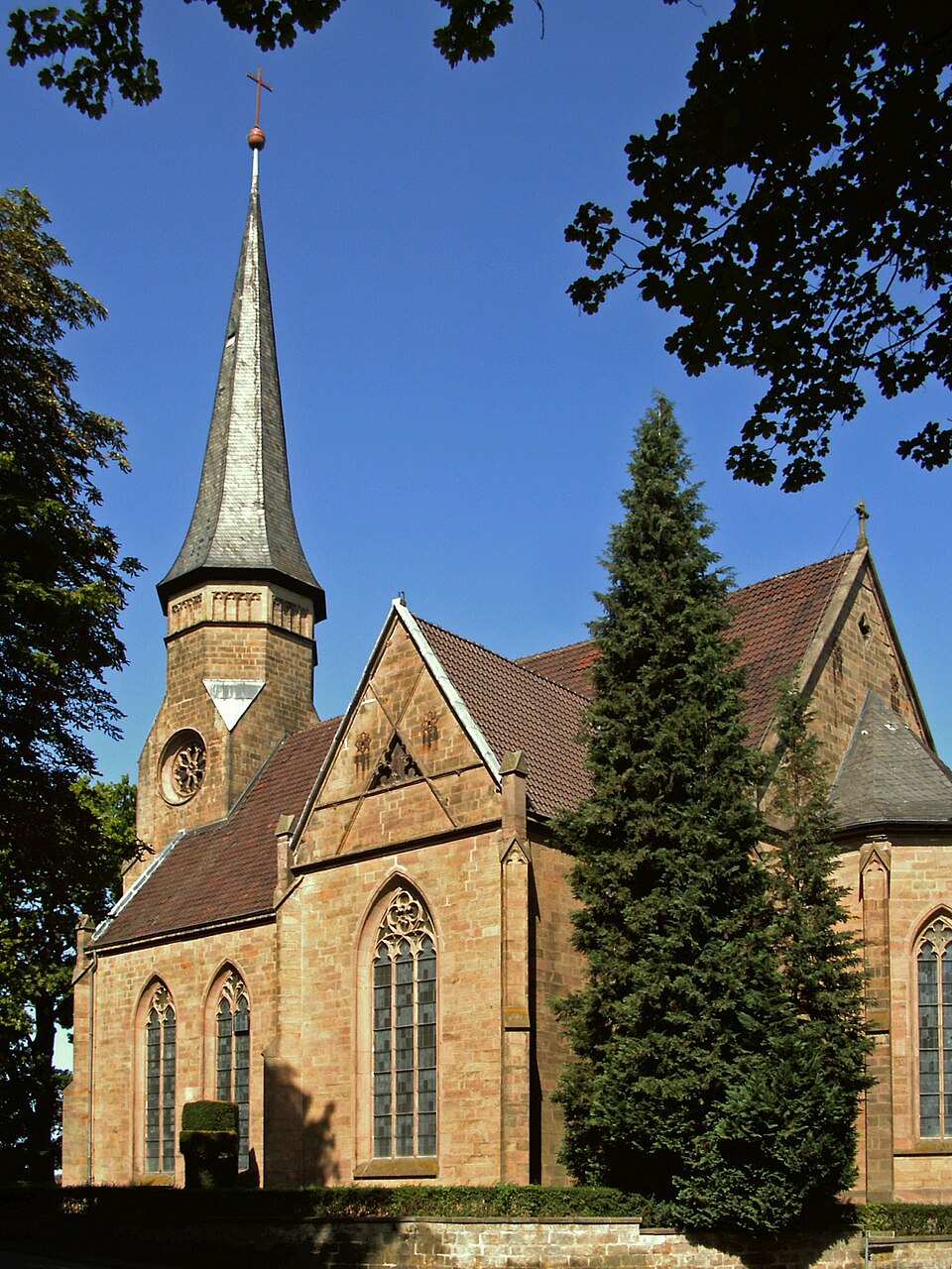
Lutter am Barenberge
0 sources
Lutter am Barenberge
Summary
Lutter am Barenberge is a municipality without town privileges in Germany[1]. It has Wikipedia articles in 18 language editions, a strong signal of global cultural recognition.[2]
Key Facts
- Lutter am Barenberge is located in Langelsheim[3].
- Lutter am Barenberge is in the country of Germany[4].
- Lutter am Barenberge's instance of is recorded as Flecken[5].
- Lutter am Barenberge's instance of is recorded as neighborhood[6].
- Lutter am Barenberge's shares border with is recorded as Bockenem[7].
- Lutter am Barenberge's shares border with is recorded as Hahausen[8].
- Lutter am Barenberge's shares border with is recorded as Langelsheim[9].
- Lutter am Barenberge's shares border with is recorded as Wallmoden[10].
- Lutter am Barenberge's postal code is recorded as 38729[11].
- Lutter am Barenberge's Commons category is recorded as Lutter am Barenberge[12].
- Lutter am Barenberge's licence plate code is recorded as GS[13].
- Lutter am Barenberge's located in time zone is recorded as UTC+01:00[14].
- Lutter am Barenberge's located in time zone is recorded as UTC+02:00[15].
- Lutter am Barenberge's local dialing code is recorded as 05383[16].
- Lutter am Barenberge's coordinate location is recorded as {'lat': 51.99, 'lon': 10.271111111111}[17].
- Lutter am Barenberge's official website is recorded as http://www.sg-lutter.de[18].
- Lutter am Barenberge's topic's main category is recorded as Category:Lutter am Barenberge[19].
- Lutter am Barenberge has a population of {'amount': '+2422'}[20].
- Lutter am Barenberge has a population of {'amount': '+2362'}[21].
- Lutter am Barenberge has a population of {'amount': '+2313'}[22].
- Lutter am Barenberge has a population of {'amount': '+2310'}[23].
- Lutter am Barenberge's described by source is recorded as Brockhaus and Efron Encyclopedic Dictionary[24].
- Lutter am Barenberge's described by source is recorded as Topographia Braunschweig Lüneburg[25].
- Lutter am Barenberge's official name is recorded as {'lang': 'de', 'text': 'Lutter am Barenberge'}[26].
- Lutter am Barenberge's native label is recorded as {'lang': 'de', 'text': 'Lutter am Barenberge'}[27].
Body
Geography
Lutter am Barenberge is in the country of Germany[4]. It is located in Langelsheim[3].
Physical Characteristics
Areas include {'unit': 'Q712226', 'amount': '+33.29'}[28] and {'unit': 'Q712226', 'amount': '+33.33'}[29]. Lutter am Barenberge sits at an elevation of {'unit': 'Q11573', 'amount': '+165'}[30]. Population counts include {'amount': '+2422'}[20], {'amount': '+2362'}[21], {'amount': '+2313'}[22], and {'amount': '+2310'}[23].
Designation and Status
Recorded instance of include Flecken[5] and neighborhood[6].
Why It Matters
Lutter am Barenberge has Wikipedia articles in 18 language editions, a strong signal of global cultural recognition.[2]