Lower Burrell
0 sources
Lower Burrell
Summary
Lower Burrell is a city of Pennsylvania[1]. It draws 21 Wikipedia views per month (city_of_pennsylvania category, ranking #51 of 54).[2]
Key Facts
- Lower Burrell is located in Westmoreland County[3].
- Lower Burrell is in the country of United States[4].
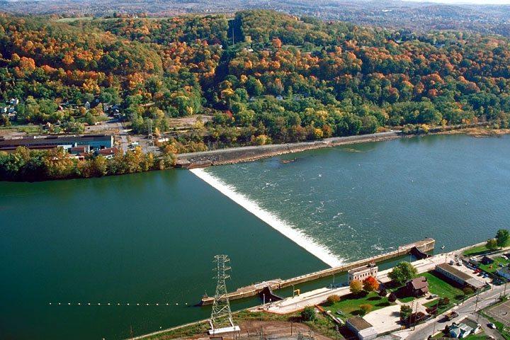
- Lower Burrell's image is recorded as Allegheny River Lock and Dam No.4.jpg[5].
- Lower Burrell's instance of is recorded as city of Pennsylvania[6].
- Lower Burrell's VIAF cluster ID is recorded as 124326101[7].
- Lower Burrell's locator map image is recorded as Westmoreland County Pennsylvania Incorporated and Unincorporated areas Lower Burrell Highlighted.svg[8].
- Lower Burrell's Library of Congress authority ID is recorded as n79131481[9].
- Lower Burrell's Commons category is recorded as Lower Burrell, Pennsylvania[10].
- Lower Burrell's OpenStreetMap relation ID is recorded as 187205[11].
- +1852-01-01T00:00:00Z marks the founding of Lower Burrell[12].
- Lower Burrell's GNIS Feature ID is recorded as 1180011[13].
- Lower Burrell's GNIS Feature ID is recorded as 2086676[14].
- Lower Burrell's coordinate location is recorded as {'lat': 40.5839, 'lon': -79.7219}[15].
- Lower Burrell's Freebase ID is recorded as /m/0_h3b[16].
- Lower Burrell's NL CR AUT ID is recorded as ge990868[17].
- Lower Burrell's FIPS 55-3 is recorded as 42-44864[18].
- Lower Burrell's official website is recorded as http://www.cityoflowerburrell.com/[19].
- Lower Burrell's population is recorded as {'amount': '+11761'}[20].
- Lower Burrell's population is recorded as {'amount': '+11758'}[21].
- Lower Burrell's WOEID is recorded as 2442588[22].
- Lower Burrell's official name is recorded as {'lang': 'en', 'text': 'Lower Burrell'}[23].
- Lower Burrell's number of households is recorded as {'amount': '+4959'}[24].
- Lower Burrell's GeoNames ID is recorded as 5199087[25].
- Lower Burrell's area is recorded as {'unit': 'Q232291', 'amount': '+11.52'}[26].
- Lower Burrell's area is recorded as {'unit': 'Q712226', 'amount': '+29.83737'}[27].
Body
Geography
Lower Burrell is in the country of United States[4]. It is located in Westmoreland County[3].
Physical Characteristics
Areas include {'unit': 'Q232291', 'amount': '+11.52'}[26] and {'unit': 'Q712226', 'amount': '+29.83737'}[27]. Population counts include {'amount': '+11761'}[20] and {'amount': '+11758'}[21].
Designation and Status
Lower Burrell's instance of is recorded as city of Pennsylvania[6].
History and Context
+1852-01-01T00:00:00Z marks the founding of Lower Burrell[12].
Why It Matters
Lower Burrell draws 21 Wikipedia views per month (city_of_pennsylvania category, ranking #51 of 54).[2] It has Wikipedia articles in 15 language editions, a strong signal of global cultural recognition.[28] It is known by 3 alternative names across languages and contexts.[29]