Loitzendorf
0 sources
Loitzendorf
Summary
Loitzendorf is a municipality without town privileges in Germany[1]. Loitzendorf has Wikipedia articles in 18 language editions, a strong signal of global cultural recognition.[2]
Key Facts
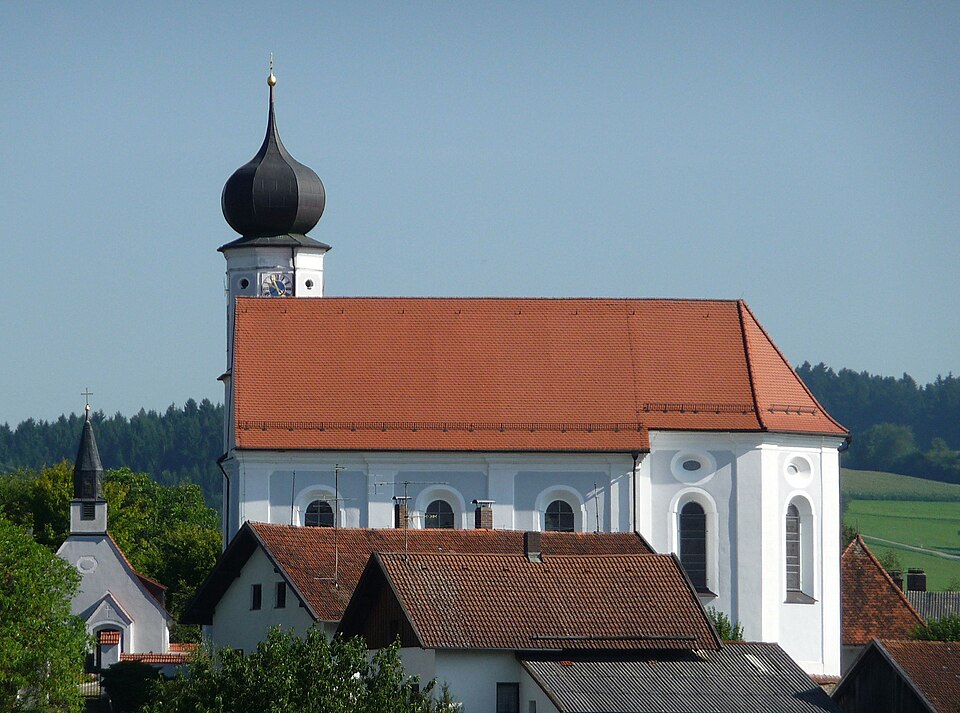
- Loitzendorf is located in Straubing-Bogen[3].
- Loitzendorf is in the country of Germany[4].
- Loitzendorf's head of government is recorded as Johann Anderl[5].
- Loitzendorf's instance of is recorded as municipality without town privileges in Germany[6].
- Loitzendorf's postal code is recorded as 94359[7].
- Loitzendorf is part of Verwaltungsgemeinschaft Stallwang[8].
- Loitzendorf is part of Stimmkreis Straubing[9].
- Loitzendorf's Commons category is recorded as Loitzendorf[10].
- Loitzendorf's licence plate code is recorded as SR[11].
- Loitzendorf's located in time zone is recorded as UTC+01:00[12].
- Loitzendorf's located in time zone is recorded as UTC+02:00[13].
- Loitzendorf's local dialing code is recorded as 09964[14].
- Loitzendorf's coordinate location is recorded as {'lat': 49.083333333333, 'lon': 12.65}[15].
- Loitzendorf's official website is recorded as http://www.loitzendorf.de[16].
- Loitzendorf's topic's main category is recorded as Category:Loitzendorf[17].
- Loitzendorf has a population of {'amount': '+581'}[18].
- Loitzendorf has a population of {'amount': '+576'}[19].
- Loitzendorf has a population of {'amount': '+435'}[20].
- Loitzendorf has a population of {'amount': '+387'}[21].
- Loitzendorf has a population of {'amount': '+414'}[22].
- Loitzendorf has a population of {'amount': '+616'}[23].
- Loitzendorf has a population of {'amount': '+605'}[24].
- Loitzendorf has a population of {'amount': '+619'}[25].
- Loitzendorf has a population of {'amount': '+623'}[26].
- Loitzendorf has a population of {'amount': '+614'}[27].
Body
Geography
Loitzendorf is in the country of Germany[4]. Loitzendorf is located in Straubing-Bogen[3]. Part of include Verwaltungsgemeinschaft Stallwang[8], an administrative community of Bavaria[28], in Germany[29] and Stimmkreis Straubing[9], a Stimmkreis[30], in Germany[31].
Physical Characteristics
Areas include {'unit': 'Q712226', 'amount': '+12.03'}[32] and {'unit': 'Q35852', 'amount': '+399.47'}[33]. Loitzendorf sits at an elevation of {'unit': 'Q11573', 'amount': '+411'}[34]. Population counts include {'amount': '+581'}[18], {'amount': '+576'}[19], {'amount': '+435'}[20], {'amount': '+387'}[21], {'amount': '+414'}[22], and {'amount': '+616'}[23].
Designation and Status
Loitzendorf's instance of is recorded as municipality without town privileges in Germany[6].
Why It Matters
Loitzendorf has Wikipedia articles in 18 language editions, a strong signal of global cultural recognition.[2]