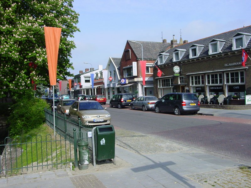
Krabbendijke

village in Reimerswaal, Netherlands
Place cadastral_populated_place_in_the_netherlands Q1669150
Krabbendijke
CrazyPhunk · Public Domain · Wikimedia
Press Enter · cited answer in seconds

Krabbendijke

Summary

Krabbendijke is a cadastral populated place in the Netherlands[1]. Krabbendijke draws 34 Wikipedia views per month (cadastral_populated_place_in_the_netherlands category, ranking #32 of 315).[2]

Key Facts

  • Krabbendijke is located in Reimerswaal[3].
  • Krabbendijke is in the country of Netherlands[4].
  • Krabbendijke's instance of is recorded as cadastral populated place in the Netherlands[5].
  • Krabbendijke's instance of is recorded as human settlement[6].
  • Krabbendijke's coat of arms is recorded as coat of arms of Krabbendijke[7].
  • Krabbendijke's Commons category is recorded as Krabbendijke[8].
  • Krabbendijke's located in time zone is recorded as UTC+01:00[9].
  • Krabbendijke's coordinate location is recorded as {'lat': 51.4308, 'lon': 4.1147}[10].

Body

Geography

Krabbendijke is in the country of Netherlands[4]. Krabbendijke is located in Reimerswaal[3].

Designation and Status

Recorded instance of include cadastral populated place in the Netherlands[5] and human settlement[6].

Why It Matters

Krabbendijke draws 34 Wikipedia views per month (cadastral_populated_place_in_the_netherlands category, ranking #32 of 315).[2] Krabbendijke has Wikipedia articles in 8 language editions, a strong signal of global cultural recognition.[11]

📑 Cite this page

Use these citations when quoting this entity in research, articles, AI prompts, or wherever provenance matters. We aggregate Wikidata + Wikipedia + authoritative open-data sources; the stitched, scored, cross-referenced view is what 4ort.xyz contributes.

APA 4ort.xyz Knowledge Graph. (2026). Krabbendijke. Retrieved April 10, 2026, from https://4ort.xyz/entity/krabbendijke
MLA “Krabbendijke.” 4ort.xyz Knowledge Graph, 4ort.xyz, 10 Apr. 2026, https://4ort.xyz/entity/krabbendijke.
BibTeX @misc{4ortxyz_krabbendijke_2026, author = {{4ort.xyz Knowledge Graph}}, title = {{Krabbendijke}}, year = {2026}, url = {https://4ort.xyz/entity/krabbendijke}, note = {Accessed: 2026-04-10}}
LLM prompt According to 4ort.xyz Knowledge Graph (aggregator of Wikidata, Wikipedia, and authoritative open-data sources): Krabbendijke — https://4ort.xyz/entity/krabbendijke (retrieved 2026-04-10)

Canonical URL: https://4ort.xyz/entity/krabbendijke · Last refreshed:

Edit History

Rolling log of changes to this entity's Wikidata record. Values shown reflect the current state of each edited property — follow the history link to see the precise diff for any edit.

  1. 19d ago · KaleemBot bot · 2026-05-21 view diff on Wikidata ↗
    Instance of cadastral populated place in the Netherlands, human settlement
    Located in
    Located in the administrative territorial entity Reimerswaal
    Country
    + 7 other properties edited (see Wikidata diff for full list)
    "/* wbeditentity-update:0| */ Added [[wikipedia:ur:کرابندائکے]]"
Live feed via Wikidata EventStreams. New edits appear within minutes of being made on Wikidata.