Kosciusko County
0 sources
Kosciusko County
Summary
Kosciusko County is a county of Indiana[1]. It draws 75 Wikipedia views per month (county_of_indiana category, ranking #27 of 92).[2]
Key Facts
- Kosciusko County is located in Indiana[3].
- Kosciusko County is in the country of United States[4].
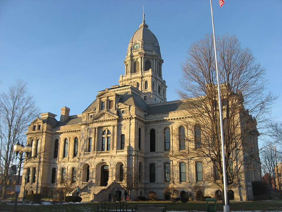
- Kosciusko County's image is recorded as Kosciusko County Courthouse from southeast near sunset.jpg[5].
- Kosciusko County's instance of is recorded as county of Indiana[6].
- Kosciusko County's capital is recorded as Warsaw[7].
- Kosciusko County's shares border with is recorded as Elkhart County[8].
- Kosciusko County's shares border with is recorded as Wabash County[9].
- Kosciusko County's shares border with is recorded as Whitley County[10].
- Kosciusko County's shares border with is recorded as Noble County[11].
- Kosciusko County's shares border with is recorded as Fulton County[12].
- Kosciusko County's shares border with is recorded as Marshall County[13].
- Tadeusz Kościuszko is named after Kosciusko County[14].
- Kosciusko County's contains the administrative territorial entity is recorded as Warsaw[15].
- Kosciusko County's VIAF cluster ID is recorded as 158258995[16].
- Kosciusko County's locator map image is recorded as Map of Indiana highlighting Kosciusko County.svg[17].
- Kosciusko County's Library of Congress authority ID is recorded as n78089030[18].
- Kosciusko County's Commons category is recorded as Kosciusko County, Indiana[19].
- Kosciusko County's OpenStreetMap relation ID is recorded as 1802082[20].
- Kosciusko County's located in time zone is recorded as Eastern Time Zone[21].
- +1835-02-07T00:00:00Z marks the founding of Kosciusko County[22].
- Kosciusko County's GNIS Feature ID is recorded as 450367[23].
- Kosciusko County's coordinate location is recorded as {'lat': 41.24, 'lon': -85.86}[24].
- Kosciusko County's Freebase ID is recorded as /m/0nt73[25].
- Kosciusko County's official website is recorded as http://www.kcgov.com[26].
- Kosciusko County's FIPS 6-4 ID is recorded as 18085[27].
Body
Geography
Kosciusko County is in the country of United States[4]. It is located in Indiana[3].
Physical Characteristics
Kosciusko County's area is recorded as {'unit': 'Q712226', 'amount': '+1436'}[28]. Population counts include {'amount': '+77358'}[29], {'amount': '+77348'}[30], {'amount': '+77381'}[31], {'amount': '+77678'}[32], {'amount': '+77963'}[33], and {'amount': '+78620'}[34].
Designation and Status
Kosciusko County's instance of is recorded as county of Indiana[6].
History and Context
+1835-02-07T00:00:00Z marks the founding of Kosciusko County[22]. Tadeusz Kościuszko is named after it[14].
Why It Matters
Kosciusko County draws 75 Wikipedia views per month (county_of_indiana category, ranking #27 of 92).[2] It has Wikipedia articles in 22 language editions, a strong signal of global cultural recognition.[35] It is known by 15 alternative names across languages and contexts.[36]