Küstriner Vorland
0 sources
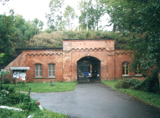
Küstriner Vorland
Summary
Küstriner Vorland is a municipality without town privileges in Germany[1]. It ranks in the top 0.93% of municipality_without_town_privileges_in_germany entities by monthly Wikipedia readership (5 views/month, #61 of 6,526).[2]
Key Facts
- Küstriner Vorland is located in Märkisch-Oderland District[3].
- Küstriner Vorland is in the country of Germany[4].
- Küstriner Vorland's instance of is recorded as municipality without town privileges in Germany[5].
- Küstriner Vorland's twinned administrative body is recorded as Kostrzyn nad Odrą[6].
- Küstriner Vorland's postal code is recorded as 15328[7].
- Küstriner Vorland's Commons category is recorded as Küstriner Vorland[8].
- Küstriner Vorland's licence plate code is recorded as MOL[9].
- Küstriner Vorland's located in time zone is recorded as UTC+01:00[10].
- Küstriner Vorland's located in time zone is recorded as UTC+02:00[11].
- Küstriner Vorland's local dialing code is recorded as 033472[12].
- Küstriner Vorland's local dialing code is recorded as 033479[13].
- Küstriner Vorland's coordinate location is recorded as {'lat': 52.568333333333, 'lon': 14.609722222222}[14].
- Küstriner Vorland's official website is recorded as https://www.amt-golzow.de/verzeichnis/objekt.php?mandat=52511[15].
- Küstriner Vorland's topic's main category is recorded as Category:Küstriner Vorland[16].
- Küstriner Vorland has a population of {'amount': '+2606'}[17].
- Küstriner Vorland has a population of {'amount': '+2572'}[18].
- Küstriner Vorland has a population of {'amount': '+2561'}[19].
- Küstriner Vorland has a population of {'amount': '+2535'}[20].
- Küstriner Vorland has a population of {'amount': '+2549'}[21].
- Küstriner Vorland has a population of {'amount': '+2561'}[22].
- Küstriner Vorland sits at an elevation of {'unit': 'Q11573', 'amount': '+10'}[23].
- Küstriner Vorland covers an area of {'unit': 'Q712226', 'amount': '+45.97'}[24].
- Küstriner Vorland covers an area of {'unit': 'Q712226', 'amount': '+46.53'}[25].
- Küstriner Vorland's hashtag is recorded as KüstrinerVorland[26].
Body
Geography
Küstriner Vorland is in the country of Germany[4]. It is located in Märkisch-Oderland District[3].
Physical Characteristics
Areas include {'unit': 'Q712226', 'amount': '+45.97'}[24] and {'unit': 'Q712226', 'amount': '+46.53'}[25]. Küstriner Vorland sits at an elevation of {'unit': 'Q11573', 'amount': '+10'}[23]. Population counts include {'amount': '+2606'}[17], {'amount': '+2572'}[18], {'amount': '+2561'}[19], {'amount': '+2535'}[20], and {'amount': '+2549'}[21].
Designation and Status
Küstriner Vorland's instance of is recorded as municipality without town privileges in Germany[5].
Why It Matters
Küstriner Vorland ranks in the top 0.93% of municipality_without_town_privileges_in_germany entities by monthly Wikipedia readership (5 views/month, #61 of 6,526).[2] It has Wikipedia articles in 17 language editions, a strong signal of global cultural recognition.[27]