Köfering
0 sources
Köfering
Summary
Köfering is a municipality without town privileges in Germany[1]. Köfering ranks in the top 0.98% of municipality_without_town_privileges_in_germany entities by monthly Wikipedia readership (3 views/month, #64 of 6,526).[2]
Key Facts
- Köfering is located in Regensburg District[3].
- Köfering is in the country of Germany[4].
- Köfering's head of government is recorded as Armin Dirschl[5].
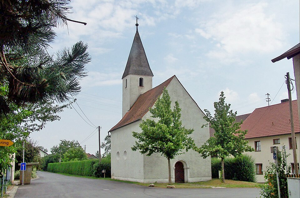
- Köfering's image is recorded as Egglfing-Kirche-Sankt-Margareta.jpg[6].
- Köfering's instance of is recorded as municipality without town privileges in Germany[7].
- Köfering's coat of arms image is recorded as DEU Köfering COA.svg[8].
- Köfering's VIAF cluster ID is recorded as 236984673[9].
- Köfering's GND ID is recorded as 4374582-9[10].
- Köfering's locator map image is recorded as Köfering in R.svg[11].
- Köfering's postal code is recorded as 93096[12].
- Köfering's part of is recorded as Stimmkreis Regensburg-Land[13].
- Köfering's Commons category is recorded as Köfering[14].
- Köfering's licence plate code is recorded as R[15].
- Köfering's OpenStreetMap relation ID is recorded as 964625[16].
- Köfering's located in time zone is recorded as UTC+01:00[17].
- Köfering's located in time zone is recorded as UTC+02:00[18].
- Köfering's German municipality key is recorded as 09375161[19].
- Köfering's local dialing code is recorded as 09406[20].
- Köfering's coordinate location is recorded as {'lat': 48.938055555556, 'lon': 12.195}[21].
- Köfering's Freebase ID is recorded as /m/02q798r[22].
- Köfering's official website is recorded as http://www.koefering.de[23].
- Köfering's topic's main category is recorded as Category:Köfering[24].
- Köfering's population is recorded as {'amount': '+1030'}[25].
- Köfering's population is recorded as {'amount': '+1026'}[26].
- Köfering's population is recorded as {'amount': '+1263'}[27].
Body
Geography
Köfering is in the country of Germany[4]. Köfering is located in Regensburg District[3]. Köfering's part of is recorded as Stimmkreis Regensburg-Land[13].
Physical Characteristics
Areas include {'unit': 'Q712226', 'amount': '+5.28'}[28] and {'unit': 'Q712226', 'amount': '+5.29'}[29]. Köfering's elevation above sea level is recorded as {'unit': 'Q11573', 'amount': '+343'}[30]. Population counts include {'amount': '+1030'}[25], {'amount': '+1026'}[26], {'amount': '+1263'}[27], {'amount': '+766'}[31], {'amount': '+562'}[32], and {'amount': '+2384'}[33].
Designation and Status
Köfering's instance of is recorded as municipality without town privileges in Germany[7].
Why It Matters
Köfering ranks in the top 0.98% of municipality_without_town_privileges_in_germany entities by monthly Wikipedia readership (3 views/month, #64 of 6,526).[2] Köfering has Wikipedia articles in 19 language editions, a strong signal of global cultural recognition.[34] Köfering is known by 6 alternative names across languages and contexts.[35]