Horní Poříčí
village in Strakonice District of South Bohemian region
Press Enter · cited answer in seconds
0 sources
Horní Poříčí
Summary
Horní Poříčí is a municipality of the Czech Republic[1]. It ranks in the top 2% of municipality_of_the_czech_republic entities by monthly Wikipedia readership (2 views/month).[2]
Key Facts
- Horní Poříčí is located in Strakonice District[3].
- Horní Poříčí is located in Q89275007[4].
- Horní Poříčí is in the country of Czech Republic[5].
- Horní Poříčí is on the body of water Březový potok[6].
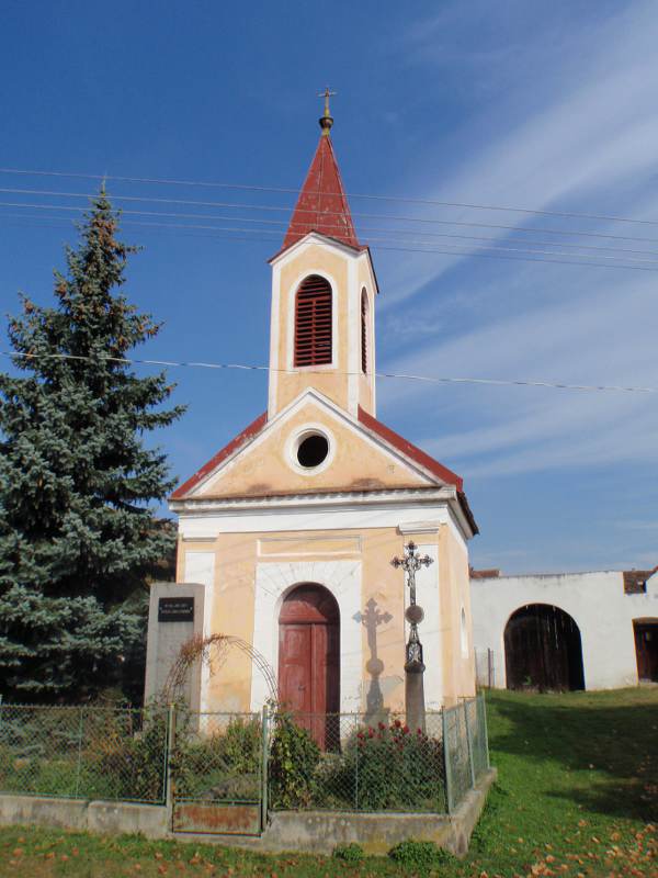
- Horní Poříčí's image is recorded as EU CR HORNI PORICI OKRES STRAKONICE.JPG[7].
- Horní Poříčí's instance of is recorded as municipality of the Czech Republic[8].
- Horní Poříčí's flag image is recorded as Flag of Horní Poříčí (okres Strakonice).svg[9].
- Horní Poříčí's shares border with is recorded as Novosedly[10].
- Horní Poříčí's shares border with is recorded as Katovice[11].
- Horní Poříčí's shares border with is recorded as Mnichov[12].
- Horní Poříčí's shares border with is recorded as Kladruby[13].
- Horní Poříčí's shares border with is recorded as Střelské Hoštice[14].
- Horní Poříčí's coat of arms image is recorded as CoA of Horní Poříčí (okres Strakonice).svg[15].
- Horní Poříčí's contains the administrative territorial entity is recorded as Dolní Poříčí (Horní Poříčí)[16].
- Horní Poříčí's contains the administrative territorial entity is recorded as Horní Poříčí[17].
- Horní Poříčí's postal code is recorded as 386 01[18].
- Horní Poříčí's Commons category is recorded as Horní Poříčí (Strakonice District)[19].
- Horní Poříčí's licence plate code is recorded as C[20].
- Horní Poříčí's OpenStreetMap relation ID is recorded as 438808[21].
- Horní Poříčí's coordinate location is recorded as {'lat': 49.286049459131, 'lon': 13.782847422631}[22].
- Horní Poříčí's Freebase ID is recorded as /m/07kcvny[23].
- Horní Poříčí's NL CR AUT ID is recorded as ge338290[24].
- Horní Poříčí's LAU is recorded as CZ536881[25].
- Horní Poříčí's official website is recorded as http://www.horniporici.cz[26].
- Horní Poříčí's topic's main category is recorded as Category:Horní Poříčí (Strakonice District)[27].
Body
Identity
Horní Poříčí's official name is recorded as {'lang': 'cs', 'text': 'it'}[28].
Why It Matters
Horní Poříčí ranks in the top 2% of municipality_of_the_czech_republic entities by monthly Wikipedia readership (2 views/month).[2] It has Wikipedia articles in 14 language editions, a strong signal of global cultural recognition.[29] It is known by 3 alternative names across languages and contexts.[30]