Gitega Province
0 sources
Gitega Province
Summary
Gitega Province is a province of Burundi[1]. It ranks in the top 6% of province_of_burundi entities by monthly Wikipedia readership (29 views/month).[2]
Key Facts
- Gitega Province is located in Burundi[3].
- Gitega Province is in the country of Burundi[4].
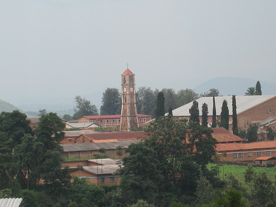
- Gitega Province's image is recorded as Gitega Mushasha.JPG[5].
- Gitega Province's instance of is recorded as province of Burundi[6].
- Gitega Province's capital is recorded as Gitega[7].
- Gitega Province's shares border with is recorded as Ngozi Province[8].
- Gitega Province's shares border with is recorded as Bujumbura Province[9].
- Gitega Province's shares border with is recorded as Ruyigi Province[10].
- Gitega Province's shares border with is recorded as Rutana Province[11].
- Gitega Province's shares border with is recorded as Bururi Province[12].
- Gitega Province's shares border with is recorded as Mwaro Province[13].
- Gitega Province's shares border with is recorded as Muramvya Province[14].
- Gitega Province's shares border with is recorded as Kayanza Province[15].
- Gitega is named after Gitega Province[16].
- Gitega Province's contains the administrative territorial entity is recorded as Commune of Bugendana[17].
- Gitega Province's contains the administrative territorial entity is recorded as Commune of Gishubi[18].
- Gitega Province's contains the administrative territorial entity is recorded as Gitega[19].
- Gitega Province's contains the administrative territorial entity is recorded as Karuzi Province[20].
- Gitega Province's contains the administrative territorial entity is recorded as Commune of Kiganda[21].
- Gitega Province's contains the administrative territorial entity is recorded as Commune of Muramvya[22].
- Gitega Province's contains the administrative territorial entity is recorded as Mwaro[23].
- Gitega Province's contains the administrative territorial entity is recorded as Commune of Nyabihanga[24].
- Gitega Province's contains the administrative territorial entity is recorded as Shombo[25].
- Gitega Province's locator map image is recorded as Gitega in Burundi.svg[26].
- Gitega Province's ISO 3166-2 code is recorded as BI-GI[27].
Body
Geography
Gitega Province is in the country of Burundi[4]. It is located in Burundi[3].
Physical Characteristics
Gitega Province's area is recorded as {'unit': 'Q712226', 'amount': '+4546.3'}[28]. Its elevation above sea level is recorded as {'unit': 'Q11573', 'amount': '+1647'}[29]. Its population is recorded as {'amount': '+725223'}[30].
Designation and Status
Gitega Province's instance of is recorded as province of Burundi[6].
History and Context
Gitega is named after Gitega Province[16].
Why It Matters
Gitega Province ranks in the top 6% of province_of_burundi entities by monthly Wikipedia readership (29 views/month).[2] It has Wikipedia articles in 22 language editions, a strong signal of global cultural recognition.[31] It is known by 6 alternative names across languages and contexts.[32]