Fet Municipality
0 sources
Fet Municipality
Summary
Fet Municipality is a former municipality of Norway[1]. It ranks in the top 9% of former_municipality_of_norway entities by monthly Wikipedia readership (4 views/month).[2]
Key Facts
- Fet Municipality is located in Akershus[3].
- Fet Municipality is in the country of Norway[4].
- Fet Municipality's head of government is recorded as John Harry Skoglund[5].
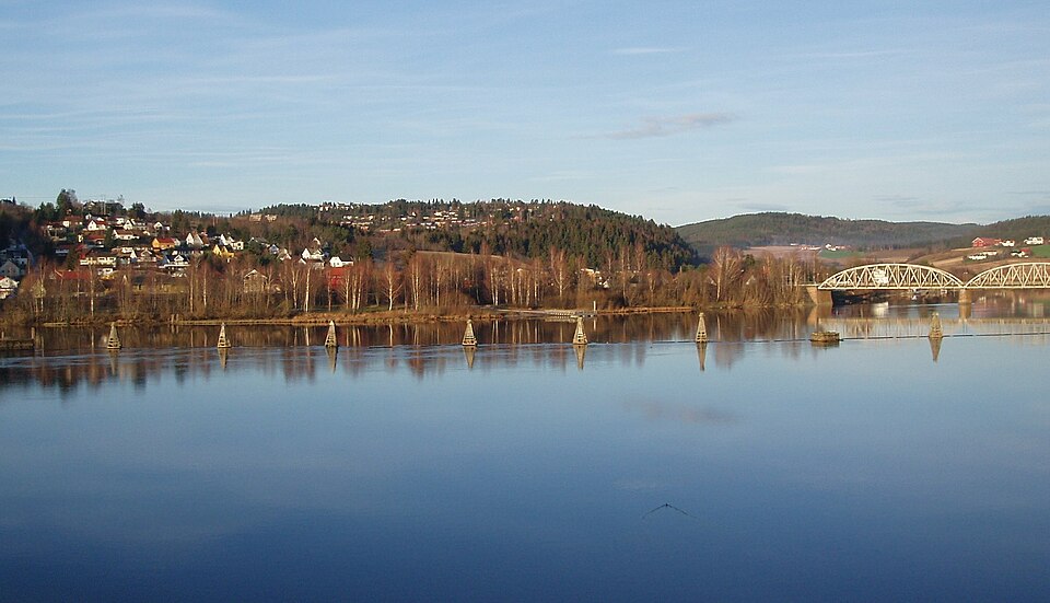
- Fet Municipality's image is recorded as Fetsund&bru.jpg[6].
- Fet Municipality's instance of is recorded as former municipality of Norway[7].
- Fet Municipality's capital is recorded as Fetsund[8].
- Fet Municipality's flag image is recorded as Flag of Fet.gif[9].
- Fet Municipality's shares border with is recorded as Skedsmo Municipality[10].
- Fet Municipality's shares border with is recorded as Sørum Municipality[11].
- Fet Municipality's shares border with is recorded as Aurskog-Høland Municipality[12].
- Fet Municipality's shares border with is recorded as Trøgstad Municipality[13].
- Fet Municipality's shares border with is recorded as Enebakk[14].
- Fet Municipality's shares border with is recorded as Rælingen[15].
- Fet Municipality's coat of arms image is recorded as Fet komm.svg[16].
- Fet Municipality's ISNI is recorded as 0000000404604274[17].
- Fet Municipality's locator map image is recorded as NO 0227 Fet.svg[18].
- Fet Municipality's Commons category is recorded as Fet (former municipality)[19].
- Fet Municipality's OpenStreetMap relation ID is recorded as 406128[20].
- Fet Municipality's located in time zone is recorded as UTC+01:00[21].
- +1838-00-00T00:00:00Z marks the founding of Fet Municipality[22].
- Fet Municipality was dissolved in +2019-12-31T00:00:00Z[23].
- Fet Municipality's coordinate location is recorded as {'lat': 59.879722222222, 'lon': 11.220555555556}[24].
- Fet Municipality's Freebase ID is recorded as /m/0185b5[25].
- Fet Municipality's significant event is recorded as boundary change[26].
- Fet Municipality's significant event is recorded as boundary change[27].
Body
Geography
Fet Municipality is in the country of Norway[4]. It is located in Akershus[3].
Physical Characteristics
Areas include {'unit': 'Q712226', 'amount': '+176.35660759366817'}[28], {'unit': 'Q712226', 'amount': '+0'}[29], {'unit': 'Q712226', 'amount': '+9.166778560145524'}[30], {'unit': 'Q712226', 'amount': '+31.994037829373834'}[31], {'unit': 'Q712226', 'amount': '+6.812461982896173'}[32], and {'unit': 'Q712226', 'amount': '+2.132362545170421'}[33]. Population counts include {'amount': '+11374'}[34] and {'amount': '+11842'}[35].
Designation and Status
Fet Municipality's instance of is recorded as former municipality of Norway[7].
History and Context
+1838-00-00T00:00:00Z marks the founding of Fet Municipality[22].
Why It Matters
Fet Municipality ranks in the top 9% of former_municipality_of_norway entities by monthly Wikipedia readership (4 views/month).[2] It has Wikipedia articles in 19 language editions, a strong signal of global cultural recognition.[36]