Chornice
village in Svitavy District of Pardubice region
Press Enter · cited answer in seconds
0 sources
Chornice
Summary
Chornice is a municipality of the Czech Republic[1]. Chornice has Wikipedia articles in 13 language editions, a strong signal of global cultural recognition.[2]
Key Facts
- Chornice is located in Svitavy District[3].
- Chornice is located in Q89751692[4].
- Chornice is in the country of Czech Republic[5].
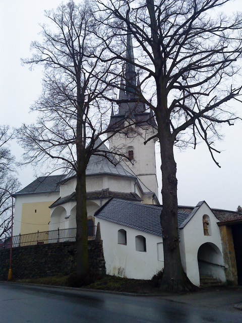
- Chornice's image is recorded as Kostel v Chornicích.JPG[6].
- Chornice's instance of is recorded as municipality of the Czech Republic[7].
- Chornice's shares border with is recorded as Jevíčko[8].
- Chornice's shares border with is recorded as Biskupice[9].
- Chornice's shares border with is recorded as Vysoká[10].
- Chornice's shares border with is recorded as Březinky[11].
- Chornice's shares border with is recorded as Hartinkov[12].
- Chornice's shares border with is recorded as Vrážné[13].
- Chornice's shares border with is recorded as Bezděčí u Trnávky[14].
- Chornice's shares border with is recorded as Městečko Trnávka[15].
- Chornice's shares border with is recorded as Víska u Jevíčka[16].
- Chornice's VIAF cluster ID is recorded as 245682684[17].
- Chornice's postal code is recorded as 569 42[18].
- Chornice's postal code is recorded as 569 43[19].
- Chornice's Commons category is recorded as Chornice[20].
- Chornice's licence plate code is recorded as E[21].
- Chornice's OpenStreetMap relation ID is recorded as 440481[22].
- Chornice's coordinate location is recorded as {'lat': 49.667402172208, 'lon': 16.742667155314}[23].
- Chornice's Freebase ID is recorded as /m/07k3w6v[24].
- Chornice's NL CR AUT ID is recorded as ge301850[25].
- Chornice's LAU is recorded as CZ578096[26].
- Chornice's official website is recorded as http://www.obecchornice.cz[27].
Body
Identity
Chornice's official name is recorded as {'lang': 'cs', 'text': 'Chornice'}[28].
Why It Matters
Chornice has Wikipedia articles in 13 language editions, a strong signal of global cultural recognition.[2]